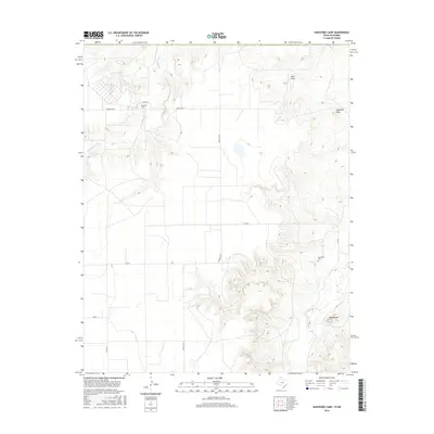
2016 Map of Hansford Camp
USGS Topo · Published 2016About this map
Hackberry Cr carves a winding path through the northern reach of this landscape, a prominent hydrological feature in a region defined by its high plains topography and drainage patterns. The settlement of Hansford Camp sits along Farm Rd 1261, serving as a localized point of activity within the grid of rural transit routes like Farm Rd 3214 and Co Rd F. In the southern half of the quadrangle, the terrain rises toward Mt Helland, while the New Hope Cem provides a specific point of interest for genealogists tracing local family history. This 2016 survey illustrates the persistent agricultural and ranching layout of the Texas County panhandle, where natural landmarks like Lightning Point and Sand Draw break the regularity of the section-line roads.
Find a feature on this map
13 named features on this map. Tap any name to fly to it.
Don’t see what you’re looking for? This feature index may not catch every label — zoom into the map to look around manually.
Map Details
Editions of this 2016 Hansford Camp Map
This is the sole edition of this map. No revisions or reprints were ever made.
Other maps of this area

1954 · Perryton
USGS Topo · 1:250,000

1958 · Perryton
USGS Topo · 1:250,000

1962 · Kimball
USGS Topo · 1:24,000

1962 · Hansford Camp
USGS Topo · 1:24,000

1962 · Waka SW
USGS Topo · 1:24,000

1968 · Hardesty
USGS Topo · 1:24,000

1968 · Hardesty SE
USGS Topo · 1:24,000

1968 · Guymon SE
USGS Topo · 1:24,000

1973 · Horseshoe Hill
USGS Topo · 1:24,000

1973 · Waka
USGS Topo · 1:24,000