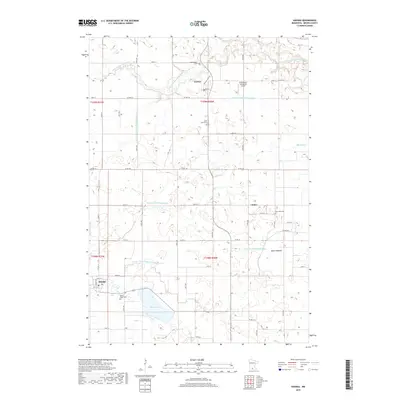
2019 Map of Hanska
USGS Topo · Published 2019About this map
Hanska and Searles anchor this Brown County landscape, illustrating a region defined by agricultural drainage and early 20th-century settlement patterns. The terrain is notably managed by an extensive network of waterways, including Judicial Ditch Number Ten and County Ditch Number Fiftyeight, which channel water toward the Little Cottonwood River. This systematic alteration of the prairie is further evidenced by the Dane Lakebed, showing how the natural hydrology has been modified for cultivation. Scattered across the section lines are the final resting places of early farming families at Mount Pisgah Cem, Saint Johns Cem, and Rice Lake Cem. Near the northern border, the Effenberger Landeplatz Airport stands as a local aviation landmark, while Linden Lake provides a primary natural water feature south of the rural community of Linden.
Find a feature on this map
41 named features on this map. Tap any name to fly to it.
Don’t see what you’re looking for? This feature index may not catch every label — zoom into the map to look around manually.
Map Details
Editions of this 2019 Hanska Map
This is the sole edition of this map. No revisions or reprints were ever made.
Other maps of this area

1953 · New Ulm
USGS Topo · 1:250,000

1957 · New Ulm
USGS Topo · 1:250,000

1958 · New Ulm
USGS Topo · 1:250,000

1964 · New Ulm
USGS Topo · 1:24,000

1964 · Courtland
USGS Topo · 1:24,000

1964 · Essig
USGS Topo · 1:24,000

1965 · Madelia
USGS Topo · 1:24,000

1965 · Hanska
USGS Topo · 1:24,000

1965 · Perth
USGS Topo · 1:24,000

1965 · Cambria
USGS Topo · 1:24,000