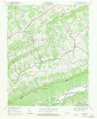
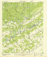
1938 Map of Hansonville
USGS Topo · Published 1971About this map
Dickensonville and Hansonville anchor this 1938 survey of the Southwest Virginia highlands, a landscape defined by the parallel ridges of Copper Ridge, Moccasin Ridge, and Clinch Mountain. The map captures an era when small-scale agriculture and milling were the lifeblood of the community, evidenced by Miller Mill and Hawkins Mill along the watercourses. The network of rural schools and churches, such as Maple Grove Ch, Adams Chapel, and Cross Roads Sch, illustrates the social fabric of Russell County before modern consolidation.
Find a feature on this map
59 named features on this map. Tap any name to fly to it.
Don’t see what you’re looking for? This feature index may not catch every label — zoom into the map to look around manually.
Map Details
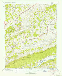
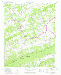
Editions of this 1938 Hansonville Map
Other maps of this area

1897 · Bristol
USGS Topo · 1:125,000

1902 · Bristol
USGS Topo · 1:125,000

1918 · Carterton
USGS Topo · 1:62,500

1920 · Coeburn
USGS Topo · 1:48,000
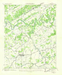
1934 · Lebanon
USGS Topo · 1:24,000

1934 · Wallace
USGS Topo · 1:24,000

1934 · Brumley
USGS Topo · 1:24,000

1934 · Hansonville
USGS Topo · 1:24,000
1934 · Carbo
USGS Topo · 1:24,000

1934 · Wyndale
USGS Topo · 1:24,000