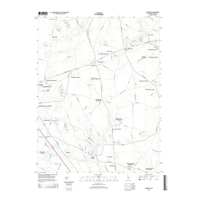
2014 Map of Harbeson
USGS Topo · Published 2014About this map
Georgetown and its eastern surroundings on the Delmarva Peninsula are defined by a network of drainage ditches and traditional rural settlements. The landscape transitions from the developed clusters of Rogers Development and Greenlea Acres into a grid of agricultural and residential hubs like Gravel Hill, Bennum, and Harbeson. This era shows significant suburban expansion through various subdivisions, including Pine Lake Development, Kawan Acres, and the Edward Cordrey Subdivision.
Find a feature on this map
156 named features on this map. Tap any name to fly to it.
Don’t see what you’re looking for? This feature index may not catch every label — zoom into the map to look around manually.
Map Details
Editions of this 2014 Harbeson Map
This is the sole edition of this map. No revisions or reprints were ever made.
Other maps of this area

1917 · Millsboro
USGS Topo · 1:62,500

1918 · Cedar Creek
USGS Topo · 1:62,500

1918 · Rehoboth
USGS Topo · 1:62,500

1918 · Cape Henlopen
USGS Topo · 1:62,500

1919 · Cedar Creek
USGS Topo · 1:62,500

1937 · Cape Henlopen
USGS Topo · 1:62,500

1938 · Cedar Creek
USGS Topo · 1:62,500

1938 · Millsboro
USGS Topo · 1:62,500

1938 · Rehoboth
USGS Topo · 1:62,500

1943 · Fairmount
USGS Topo · 1:24,000
Featured Places
- Georgetown, DE
- Harbeson, DE
- Briarwood Manor, DE
- Holly Leaf Estates Mobile Home Park, DE
- Larence Cordrey Subdivision, DE