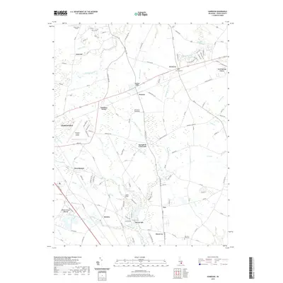
2019 Map of Harbeson
USGS Topo · Published 2019About this map
The eastern edge of Georgetown and the agricultural heart of the Delmarva Peninsula define this landscape in Sussex County. The terrain is a network of engineered drainage and winding natural branches, where features like Savannah Ditch and Ingram Br cut through a mosaic of woodlots and fields. Small rural junctions such as Springfield Crossroads and Bennum anchor the local road network, while the name Saulsbury Switch points to the area's historical rail-dependent transport patterns.
Find a feature on this map
133 named features on this map. Tap any name to fly to it.
Don’t see what you’re looking for? This feature index may not catch every label — zoom into the map to look around manually.
Map Details
Editions of this 2019 Harbeson Map
This is the sole edition of this map. No revisions or reprints were ever made.
Other maps of this area

1917 · Millsboro
USGS Topo · 1:62,500

1918 · Cedar Creek
USGS Topo · 1:62,500

1918 · Rehoboth
USGS Topo · 1:62,500

1918 · Cape Henlopen
USGS Topo · 1:62,500

1919 · Cedar Creek
USGS Topo · 1:62,500

1937 · Cape Henlopen
USGS Topo · 1:62,500

1938 · Cedar Creek
USGS Topo · 1:62,500

1938 · Millsboro
USGS Topo · 1:62,500

1938 · Rehoboth
USGS Topo · 1:62,500

1943 · Fairmount
USGS Topo · 1:24,000
Featured Places
- Georgetown, DE
- Harbeson, DE
- Briarwood Manor, DE
- Holly Leaf Estates Mobile Home Park, DE
- Larence Cordrey Subdivision, DE