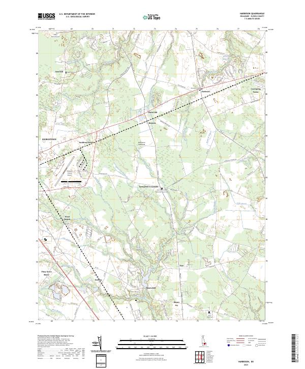
2023 Map of Harbeson
USGS Topo · Published 2023About this map
The agricultural and transit corridor east of Georgetown is defined by a dense network of drainage ditches and branches that supported Sussex County farming for generations. The Delmarva Peninsula rail line cuts through the landscape, anchoring small settlements like Bennum and Saulsbury Switch. These hamlets, along with Harbeson and Gravel Hill, reflect a historical reliance on rail and road junctions for commerce and local identity. The map reveals the intricate water management of the region, where Dutton Ditch, Sackorockets Ditch, and Eli Walls Ditch navigate the low-lying terrain to feed into larger veins like Beaverdam Creek. Genealogy researchers will find significant value in the distribution of family and community burial grounds, including the Sand Hill Cem and Stockley Cem, which are often the last standing markers of earlier residential clusters like Sand Hill and Stockley.
Find a feature on this map
142 named features on this map. Tap any name to fly to it.
Don’t see what you’re looking for? This feature index may not catch every label — zoom into the map to look around manually.
Map Details
Editions of this 2023 Harbeson Map
This is the sole edition of this map. No revisions or reprints were ever made.
Other maps of this area

1917 · Millsboro
USGS Topo · 1:62,500

1918 · Cedar Creek
USGS Topo · 1:62,500

1918 · Rehoboth
USGS Topo · 1:62,500

1918 · Cape Henlopen
USGS Topo · 1:62,500

1919 · Cedar Creek
USGS Topo · 1:62,500

1937 · Cape Henlopen
USGS Topo · 1:62,500

1938 · Cedar Creek
USGS Topo · 1:62,500

1938 · Millsboro
USGS Topo · 1:62,500

1938 · Rehoboth
USGS Topo · 1:62,500

1943 · Fairmount
USGS Topo · 1:24,000