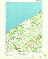
1960 Map of Harborcreek
USGS Topo · Published 1972About this map
Lake Erie defines the northern edge of this coastal landscape, where the shoreline is carved by a series of parallel drainage runs including Sevenmile Creek, Eightmile Creek, and Twelvemile Creek. The settlement pattern reflects the importance of transportation corridors, with the Penn Central and Norfolk and Western railroads running parallel to the coast. This 1960s era map, updated with 1970 aerial data, shows a mix of agricultural land and growing suburban infrastructure near Harborcreek and Brookside. Local landmarks such as the Harborcreek School for Boys, the Moorhead Air Park, and a Drive-in Theater illustrate the mid-century development of the region. Significant institutional and religious sites are scattered throughout, from Our Lady of Mercy Ch to the Mount St Benedict grounds. The terrain transitions from the low-lying lake plains to the rising elevations of the Greenfield and North East boundaries.
Find a feature on this map
57 named features on this map. Tap any name to fly to it.
Don’t see what you’re looking for? This feature index may not catch every label — zoom into the map to look around manually.
Map Details
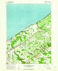
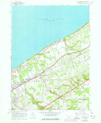
Editions of this 1960 Harborcreek Map
3 editions found
Other maps of this area

1899 · Erie
USGS Topo · 1:62,500

1900 · Erie
USGS Topo · 1:62,500

1913 · North East
USGS Topo · 1:62,500

1915 · North East
USGS Topo · 1:62,500

1943 · North East
USGS Topo · 1:62,500

1950 · Erie
USGS Topo · 1:250,000

1957 · Erie South
USGS Topo · 1:24,000
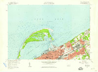
1957 · Erie North
USGS Topo · 1:24,000

1959 · Erie
USGS Topo · 1:250,000

1960 · Buffalo
USGS Topo · 1:250,000
Featured Places
- Harborcreek Township, PA
- North East Township, PA
- Moorhead, Harborcreek Township
- Moorheadville, Harborcreek Township
- Eades Corners, PA