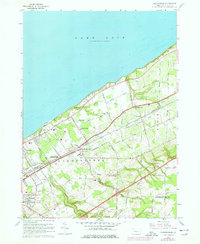
1960 Map of Harborcreek
USGS Topo · Published 1977About this map
The southern shoreline of Lake Erie defines this 1960s landscape, where the agricultural and transit-oriented character of Erie County is on full display. Parallel infrastructure from the Penn Central and Norfolk and Western railroads dictates the orientation of settlements like Harborcreek and Moorheadville, while numerous creeks—including Sixmile Creek, Eightmile Creek, and Twelvemile Creek—cut deep ravines through the lake plain. Cultural life is anchored by institutions such as the Harborcreek School for Boys and Mount St Benedict, alongside local landmarks like the Drive-in Theater and Moorhead Air Park. The map documents a blend of established family-named roads like Walbridge Road and Dutton Road with mid-century recreational features like the Golf Course near Sevenmile Creek. Significant genealogical data is preserved through several small burial grounds, including Jacob Cem and Bohoslov Cem.
Find a feature on this map
63 named features on this map. Tap any name to fly to it.
Don’t see what you’re looking for? This feature index may not catch every label — zoom into the map to look around manually.
Map Details
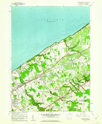
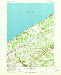
Editions of this 1960 Harborcreek Map
3 editions found
Other maps of this area

1899 · Erie
USGS Topo · 1:62,500

1900 · Erie
USGS Topo · 1:62,500

1913 · North East
USGS Topo · 1:62,500

1915 · North East
USGS Topo · 1:62,500

1943 · North East
USGS Topo · 1:62,500

1950 · Erie
USGS Topo · 1:250,000

1957 · Erie South
USGS Topo · 1:24,000
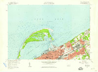
1957 · Erie North
USGS Topo · 1:24,000

1959 · Erie
USGS Topo · 1:250,000

1960 · Buffalo
USGS Topo · 1:250,000
Featured Places
- Harborcreek Township, PA
- North East Township, PA
- Moorhead, Harborcreek Township
- Moorheadville, Harborcreek Township
- Eades Corners, PA