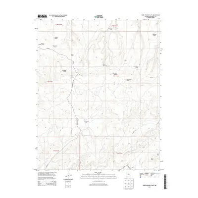
2013 Map of Hard Ground Flats
USGS Topo · Published 2013About this map
Hard Ground Flats dominates the central landscape of this McKinley County region, characterized by a complex network of high desert drainage systems and mesas. The terrain is defined by deeply cut features such as Mexican Cooking Canyon, Pumpkin Canyon, and Window Rock Canyon in the northwest, while Ram Mesa rises prominently in the southeast corner. These landforms dictate the local transportation routes, which follow the natural contours of the canyons and flats.
Find a feature on this map
33 named features on this map. Tap any name to fly to it.
Don’t see what you’re looking for? This feature index may not catch every label — zoom into the map to look around manually.
Map Details
Editions of this 2013 Hard Ground Flats Map
This is the sole edition of this map. No revisions or reprints were ever made.
Other maps of this area

1886 · Wingate
USGS Topo · 1:250,000

1892 · Wingate
USGS Topo · 1:250,000

1954 · Gallup
USGS Topo · 1:250,000

1958 · Gallup
USGS Topo · 1:250,000

1959 · Gallup
USGS Topo · 1:250,000

1962 · Gallup
USGS Topo · 1:250,000

1963 · Big Rock Hill
USGS Topo · 1:24,000
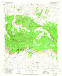
1963 · Pinedale
USGS Topo · 1:24,000
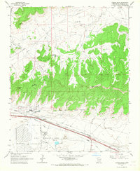
1963 · Church Rock
USGS Topo · 1:24,000
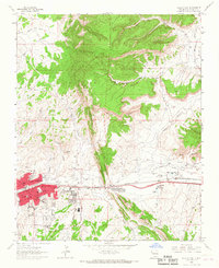
1963 · Gallup East
USGS Topo · 1:24,000
Featured Places
- Fort Defiance Agency
- Eastern Navajo Agency, NM
- Niʼ Hotłʼiz, Eastern Navajo Agency
- McKinley County, NM
- United States