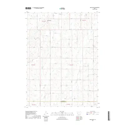
2018 Map of Hard Scratch
USGS Topo · Published 2018About this map
Hard Scratch sits at the northern end of this rural landscape, situated within a rolling terrain of agricultural tracts and narrow creek valleys. The drainage patterns are defined by several key watercourses, including Harris Grove Cr and the centrally located Potato Cr, which carve through the loess hills of western Iowa. The settlement pattern is largely dispersed, following the grid of roads such as Reading Trl and various county routes like Co Rd F52.
Find a feature on this map
64 named features on this map. Tap any name to fly to it.
Don’t see what you’re looking for? This feature index may not catch every label — zoom into the map to look around manually.
Map Details
Editions of this 2018 Hard Scratch Map
This is the sole edition of this map. No revisions or reprints were ever made.
Other maps of this area

1893 · Omaha
USGS Topo · 1:62,500

1954 · Omaha
USGS Topo · 1:250,000

1956 · Underwood
USGS Topo · 1:24,000

1956 · Neola
USGS Topo · 1:24,000

1957 · Omaha
USGS Topo · 1:250,000

1957 · Honey Creek
USGS Topo · 1:24,000

1958 · Omaha
USGS Topo · 1:250,000

1970 · Logan
USGS Topo · 1:24,000
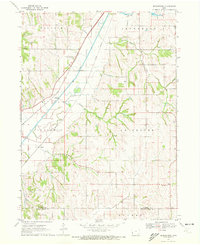
1970 · Beebeetown
USGS Topo · 1:24,000
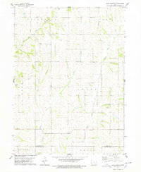
1978 · Hard Scratch
USGS Topo · 1:24,000