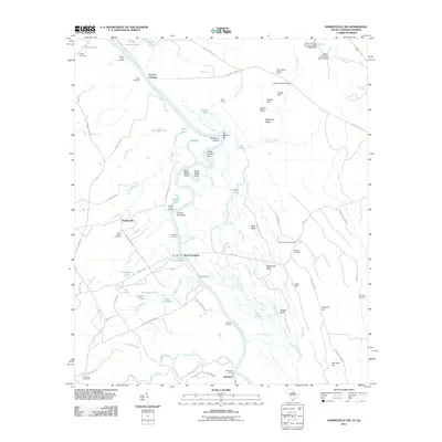
2011 Map of Hardeeville NW
USGS Topo · Published 2011About this map
Savannah River bottomlands define this landscape along the border of Georgia and South Carolina. The river's winding course is marked by numerous historical access points, including Sisters Ferry Landing, Groover Landing, and Berrys Landing. These river landings, along with the settlement of Ebenezer, point to a long history of water-based transport and early riverfront commerce. Inland, the terrain is dotted with small family and community burial grounds such as Union Spring Cemetery, Winkler Cemetery, and Strobhar Cemetery, which provide valuable touchpoints for genealogical research in this rural corridor.
Find a feature on this map
96 named features on this map. Tap any name to fly to it.
Don’t see what you’re looking for? This feature index may not catch every label — zoom into the map to look around manually.
Map Details
Editions of this 2011 Hardeeville NW Map
This is the sole edition of this map. No revisions or reprints were ever made.
Other maps of this area

1919 · Pineland
USGS Topo · 1:62,500

1919 · Shirley
USGS Topo · 1:62,500

1919 · Egypt
USGS Topo · 1:62,500

1920 · Hardeeville
USGS Topo · 1:62,500

1939 · Egypt
USGS Topo · 1:62,500

1943 · Pineland
USGS Topo · 1:62,500

1943 · Hardeeville
USGS Topo · 1:62,500

1943 · Egypt
USGS Topo · 1:62,500

1943 · Shirley
USGS Topo · 1:62,500

1947 · Savannah
USGS Topo · 1:250,000