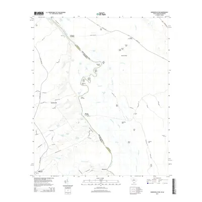
2014 Map of Hardeeville NW
USGS Topo · Published 2014About this map
The Savannah River snakes through the center of this landscape, defining the winding boundary between Jasper Co, South Carolina, and Effingham Co, Georgia. Along its banks, the river's dynamic history is written in features like Robinson Round, Big Boykin Bar, and Frying Pan Point. These river landings, including Berrys Landing and Groover Landing, once served as vital points of contact for the surrounding agricultural communities.
Find a feature on this map
93 named features on this map. Tap any name to fly to it.
Don’t see what you’re looking for? This feature index may not catch every label — zoom into the map to look around manually.
Map Details
Editions of this 2014 Hardeeville NW Map
This is the sole edition of this map. No revisions or reprints were ever made.
Other maps of this area

1919 · Pineland
USGS Topo · 1:62,500

1919 · Shirley
USGS Topo · 1:62,500

1919 · Egypt
USGS Topo · 1:62,500

1920 · Hardeeville
USGS Topo · 1:62,500

1939 · Egypt
USGS Topo · 1:62,500

1943 · Pineland
USGS Topo · 1:62,500

1943 · Hardeeville
USGS Topo · 1:62,500

1943 · Egypt
USGS Topo · 1:62,500

1943 · Shirley
USGS Topo · 1:62,500

1947 · Savannah
USGS Topo · 1:250,000