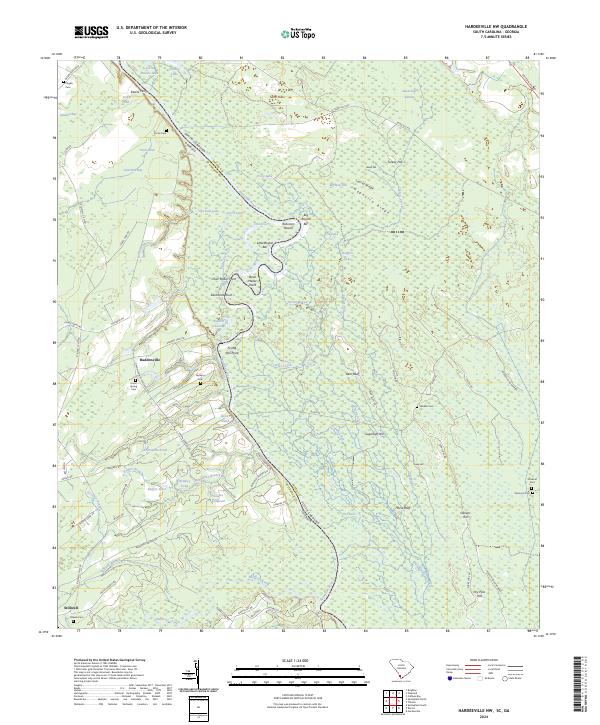
2024 Map of Hardeeville NW
USGS Topo · Published 2024About this map
The Savannah River defines the border between South Carolina and Georgia on this map, carving a winding path through a landscape of wetlands and riverine features. Along the river's serpentine bends, names like Robinson Round, Big Boykin Bar, and Frying Pan Point highlight the navigational and geographical character of the waterway. Inland, the settlements of Haddonville and Stillwell are connected by a network of local roads such as Old Augusta Rd and Union Springs Rd, indicating a rural community structured around small ponds and agricultural holdings. Genealogists will find several burial sites including Stillwell Cem, Bethany Cem, and Union Spring Cem, while family-named features like Gnann Fishpond and Keiffer Pond suggest long-standing local ties to the land and its water resources.
Find a feature on this map
98 named features on this map. Tap any name to fly to it.
Don’t see what you’re looking for? This feature index may not catch every label — zoom into the map to look around manually.
Map Details
Editions of this 2024 Hardeeville NW Map
This is the sole edition of this map. No revisions or reprints were ever made.
Other maps of this area

1919 · Pineland
USGS Topo · 1:62,500

1919 · Shirley
USGS Topo · 1:62,500

1919 · Egypt
USGS Topo · 1:62,500

1920 · Hardeeville
USGS Topo · 1:62,500

1939 · Egypt
USGS Topo · 1:62,500

1943 · Pineland
USGS Topo · 1:62,500

1943 · Hardeeville
USGS Topo · 1:62,500

1943 · Egypt
USGS Topo · 1:62,500

1943 · Shirley
USGS Topo · 1:62,500

1947 · Savannah
USGS Topo · 1:250,000