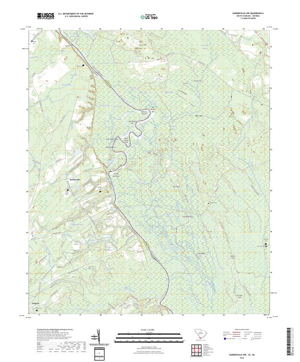
2024 Map of Hardeeville NW
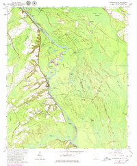
USGS Topo · Published 2024This historical map portrays the area of Hardeeville NW in 2024, primarily covering Jasper County as well as portions of Jasper County and Georgia. Featuring a scale of 1:24000, this map provides a highly detailed snapshot of the terrain, roads, buildings, counties, and historical landmarks in the Hardeeville NW region at the time. Published in 2024, it is the sole known edition of this map.
Find a feature on this map
98 named features on this map. Tap any name to fly to it.
Don’t see what you’re looking for? This feature index may not catch every label — zoom into the map to look around manually.
Map Details
Editions of this 2024 Hardeeville NW Map
This is the sole edition of this map. No revisions or reprints were ever made.
Historical Maps of Haddonville Through Time
18 maps found
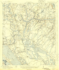
1919 Pineland
Jasper County, SC

1943 Pineland
Jasper County, SC
1955 Limehouse
Jasper County, SC
1958 Jasper
Jasper County, SC
1962 Hardeeville NW
Jasper County, SC
1962 Tillman
Jasper County, SC
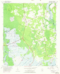
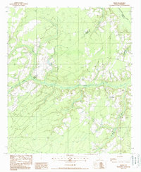
1978 Pineland
Jasper County, SC
1980 Limehouse
Jasper County, SC
1988 Calfpen Bay
Jasper County, SC
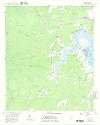
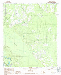
1988 Grays
Jasper County, SC
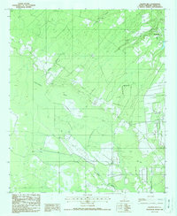
1988 Pineland
Jasper County, SC
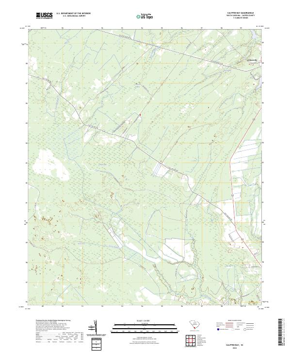
2024 Calfpen Bay
Jasper County, SC
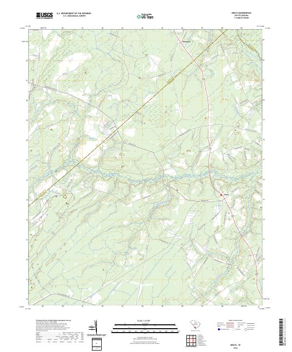
2024 Grays
Jasper County, SC
2024 Hardeeville NW
Jasper County, SC
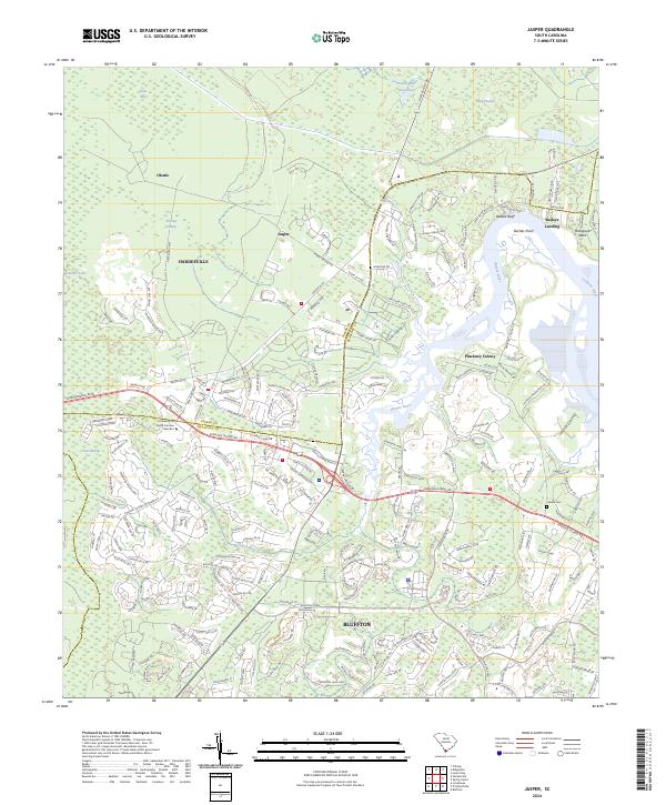
2024 Jasper
Jasper County, SC
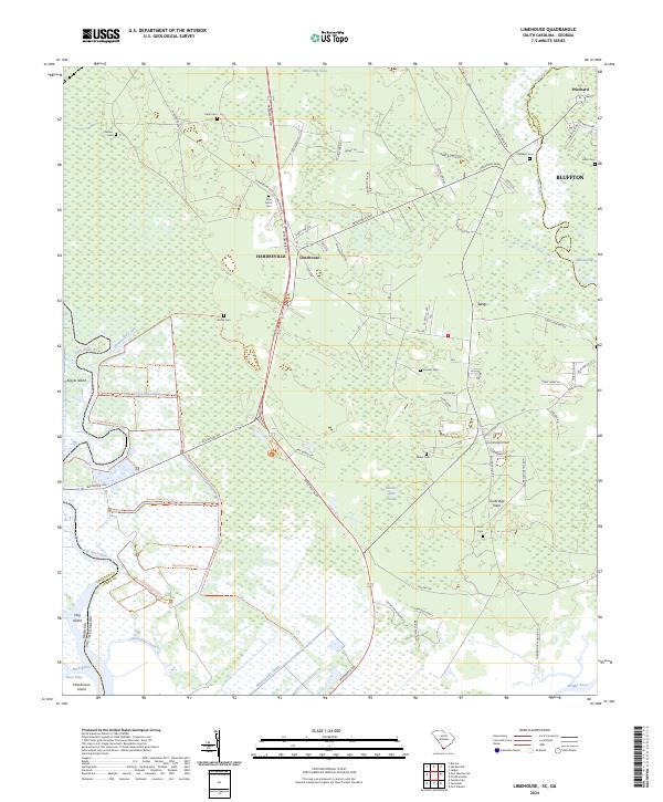
2024 Limehouse
Jasper County, SC
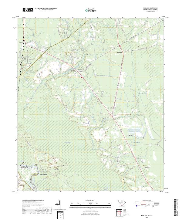
2024 Pineland
Jasper County, SC
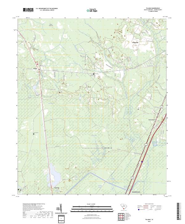
2024 Tillman
Jasper County, SC