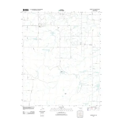
2013 Map of Harden City
USGS Topo · Published 2013About this map
Harden City and the neighboring settlements of Jesse and East Jesse anchor this pocket of Pontotoc County, where the landscape is defined by the headwaters of the Clear Boggy Creek system. The topography is marked by significant resource extraction at the Fitts Oil Field, while the water management infrastructure is evident through a series of numbered flood control structures, such as Upper Clear Boggy Cr Site 22 Reservoir and Upper Clear Boggy Cr Site 15 Reservoir.
Find a feature on this map
53 named features on this map. Tap any name to fly to it.
Don’t see what you’re looking for? This feature index may not catch every label — zoom into the map to look around manually.
Map Details
Editions of this 2013 Harden City Map
This is the sole edition of this map. No revisions or reprints were ever made.
Other maps of this area

1896 · Coalgate
USGS Topo · 1:125,000

1899 · Coalgate
USGS Topo · 1:125,000

1899 · Atoka
USGS Topo · 1:125,000

1900 · Atoka
USGS Topo · 1:125,000

1900 · Coalgate
USGS Topo · 1:125,000

1901 · Stonewall
USGS Topo · 1:125,000

1901 · Tishomingo
USGS Topo · 1:125,000

1957 · Stonewall
USGS Topo · 1:24,000

1957 · Ardmore
USGS Topo · 1:250,000

1958 · Lula
USGS Topo · 1:24,000