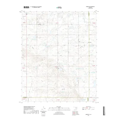
2018 Map of Harden City
USGS Topo · Published 2018About this map
Harden City and the small settlements of Jesse and East Jesse anchor this 2018 topographic landscape at the meeting of Pontotoc, Coal, and Johnston counties. The terrain is defined by a sophisticated water management system, featuring numerous numbered reservoirs such as Upper Clear Boggy Cr Site 22 Reservoir and Upper Clear Boggy Cr Site 8 Reservoir along the drainage of Clear Boggy Cr. Local history is preserved in several small burial grounds, including Atkins Cem and Lonegrove Cem, while colorful topographic names like Gobbler Knob and Biscuit Knob dot the rolling hills. The persistence of named water sources like Deadmans Spring and Coffee Pot Spring reflects the enduring importance of reliable water in this rural Oklahoma region, where Section Line roads still define the grid of movement.
Find a feature on this map
61 named features on this map. Tap any name to fly to it.
Don’t see what you’re looking for? This feature index may not catch every label — zoom into the map to look around manually.
Map Details
Editions of this 2018 Harden City Map
This is the sole edition of this map. No revisions or reprints were ever made.
Other maps of this area

1896 · Coalgate
USGS Topo · 1:125,000

1899 · Coalgate
USGS Topo · 1:125,000

1899 · Atoka
USGS Topo · 1:125,000

1900 · Atoka
USGS Topo · 1:125,000

1900 · Coalgate
USGS Topo · 1:125,000

1901 · Stonewall
USGS Topo · 1:125,000

1901 · Tishomingo
USGS Topo · 1:125,000

1957 · Stonewall
USGS Topo · 1:24,000

1957 · Ardmore
USGS Topo · 1:250,000

1958 · Lula
USGS Topo · 1:24,000