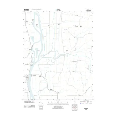
2012 Map of Hardin
USGS Topo · Published 2012About this map
The Illinois River dictates the landscape of this river-valley quadrangle, serving as the central artery between the small settlements of Hardin and Michael. Along its banks, the map details a complex system of hydraulic management, including the Eldred Levee and Nutwood Levee, which protect low-lying areas like Godar Swamp and Horse Shoe Lake. The eastern bluffs and hollows are dotted with several small burial grounds, such as Varble Cem, Cumming Cem, and the Reddish-Dunham Ford Cem, providing essential locations for genealogical research in this part of Illinois.
Find a feature on this map
70 named features on this map. Tap any name to fly to it.
Don’t see what you’re looking for? This feature index may not catch every label — zoom into the map to look around manually.
Map Details
Editions of this 2012 Hardin Map
This is the sole edition of this map. No revisions or reprints were ever made.
Other maps of this area

1924 · Roodhouse
USGS Topo · 1:62,500

1926 · Roodhouse
USGS Topo · 1:62,500

1930 · Pearl
USGS Topo · 1:62,500

1930 · Hardin
USGS Topo · 1:62,500

1930 · Jerseyville
USGS Topo · 1:62,500

1933 · Jerseyville
USGS Topo · 1:62,500

1934 · Hardin
USGS Topo · 1:62,500

1938 · Hardin
USGS Topo · 1:62,500

1948 · Quincy
USGS Topo · 1:250,000

1950 · Pearl
USGS Topo · 1:62,500