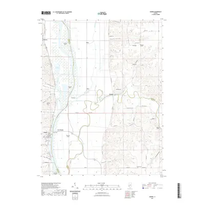
2021 Map of Hardin
USGS Topo · Published 2021About this map
Hardin, the seat of Calhoun County, serves as the primary anchor along the western bank of the Illinois River. Connected by the Page Bridge to East Hardin, the town is centered around the Calhoun County Courthouse and serves as a vital crossing point in a region defined by its complex river geography. The surrounding landscape is a mosaic of bottomlands and islands, including Hurricane Island and Diamond Island, interspersed with numerous oxbow lakes and sloughs like Horse Shoe Lake and Miller Slough.
Find a feature on this map
77 named features on this map. Tap any name to fly to it.
Don’t see what you’re looking for? This feature index may not catch every label — zoom into the map to look around manually.
Map Details
Editions of this 2021 Hardin Map
This is the sole edition of this map. No revisions or reprints were ever made.
Other maps of this area

1924 · Roodhouse
USGS Topo · 1:62,500

1926 · Roodhouse
USGS Topo · 1:62,500

1930 · Pearl
USGS Topo · 1:62,500

1930 · Hardin
USGS Topo · 1:62,500

1930 · Jerseyville
USGS Topo · 1:62,500

1933 · Jerseyville
USGS Topo · 1:62,500

1934 · Hardin
USGS Topo · 1:62,500

1938 · Hardin
USGS Topo · 1:62,500

1948 · Quincy
USGS Topo · 1:250,000

1950 · Pearl
USGS Topo · 1:62,500