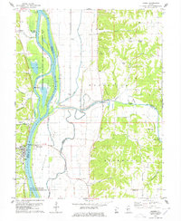
1978 Map of Hardin
USGS Topo · Published 1978About this map
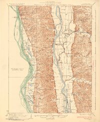
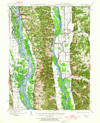
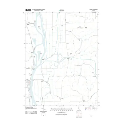
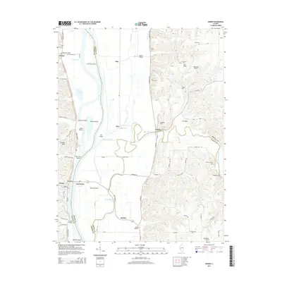
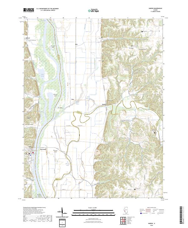
The Illinois River dominates this landscape at the confluence of several distinct drainage systems, defining the border between Calhoun and Greene counties. West of the river, the settlement of Hardin serves as a focal point near the Gaging Station, while the river itself is carved into complex channels like Dark Chute and Light River Chute. These waterways separate several large landmasses, including Hurricane Island and Diamond Island, which are managed as state fish and waterfowl areas.
Find a feature on this map
53 named features on this map. Tap any name to fly to it.
Don’t see what you’re looking for? This feature index may not catch every label — zoom into the map to look around manually.
Map Details
Editions of this 1978 Hardin Map
This is the sole edition of this map. No revisions or reprints were ever made.
Historical Maps of Hardin Through Time
9 maps found