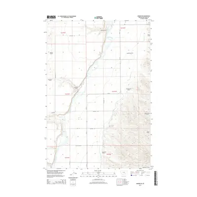
2014 Map of Hardin SW
USGS Topo · Published 2014About this map
The Bighorn River carves a central path through this Big Horn County landscape, accompanied by the extensive irrigation network of the Big Horn Canal. The terrain is defined by a series of distinct drainages or coulees, several of which bear names tied to the region's cultural and natural history, such as Whiskey Coulee, Wild Horse Coulee, and Good Horse Coulee.
Find a feature on this map
25 named features on this map. Tap any name to fly to it.
Don’t see what you’re looking for? This feature index may not catch every label — zoom into the map to look around manually.
Map Details
Editions of this 2014 Hardin SW Map
This is the sole edition of this map. No revisions or reprints were ever made.
Other maps of this area

1894 · St. Xavier
USGS Topo · 1:125,000

1894 · Fort Custer
USGS Topo · 1:125,000

1901 · St. Xavier
USGS Topo · 1:125,000

1954 · Hardin
USGS Topo · 1:250,000

1957 · Hardin
USGS Topo · 1:250,000

1958 · Hardin
USGS Topo · 1:250,000

1960 · St Xavier
USGS Topo · 1:24,000

1960 · Walker Hill
USGS Topo · 1:24,000

1960 · St Xavier NE
USGS Topo · 1:24,000

1960 · Hardin
USGS Topo · 1:24,000