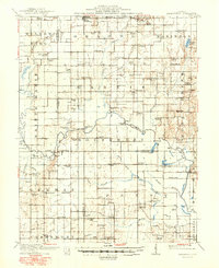
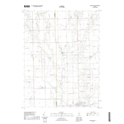
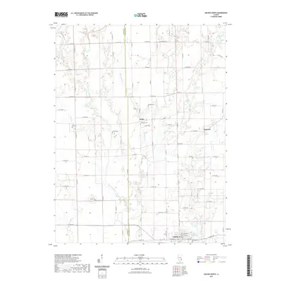
1910 Map of Hardinville
USGS Topo · Published 1950About this map
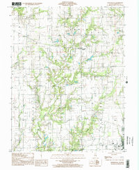
Hardinville and the surrounding rural communities of Crawford, Jasper, Richland, and Lawrence counties are captured in this topographical study based on 1907-1908 fieldwork. The landscape is defined by the winding course of the Embarrass River, where historical river crossings like Lucky Ford Ferry and Cowford Ferry provided vital transit before modern bridge infrastructure became commonplace. The arrival of the Indianapolis Southern railroad near Oblong marks the era's shift toward industrial connectivity, while the label for Oil Center points to the early 20th-century petroleum activity in the Illinois Basin.
Find a feature on this map
101 named features on this map. Tap any name to fly to it.
Don’t see what you’re looking for? This feature index may not catch every label — zoom into the map to look around manually.
Map Details
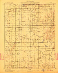
Editions of this 1910 Hardinville Map
2 editions found
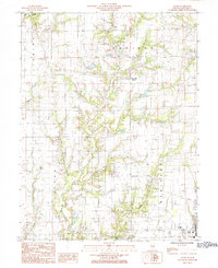
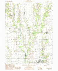
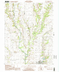
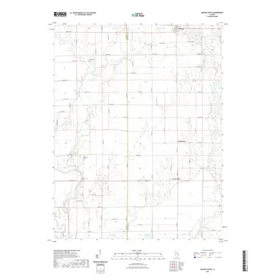
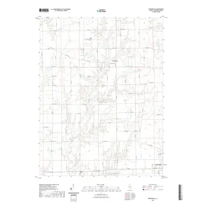
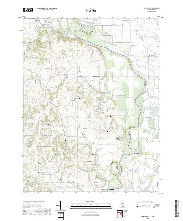
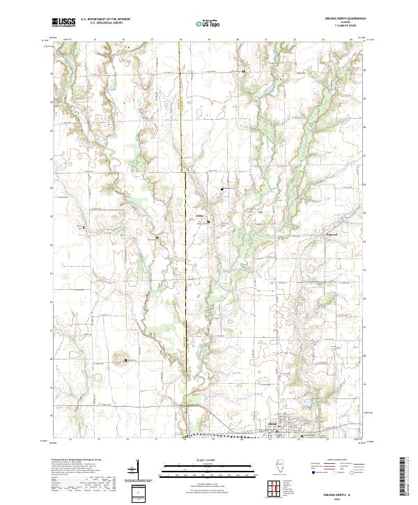
Historical Maps of Robinson Through Time
30 maps found
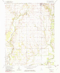
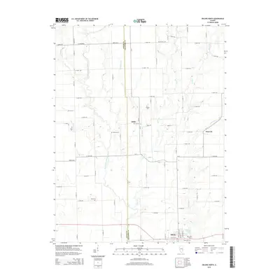
1910 Hardinville
Crawford County, IL
1917 Birds
Crawford County, IL

1942 Birds
Crawford County, IL
1964 Heathsville
Crawford County, IL
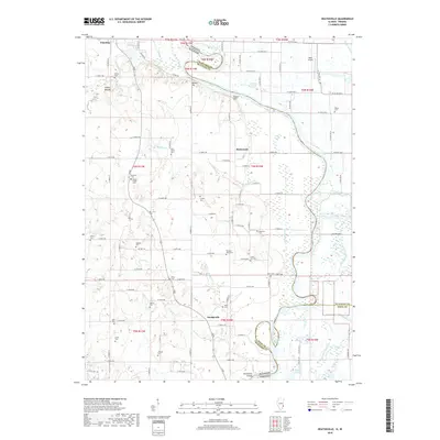
1968 Oblong South
Crawford County, IL
1985 Eaton
Crawford County, IL
1985 Oblong North
Crawford County, IL
1998 Oblong North
Crawford County, IL
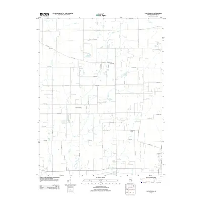
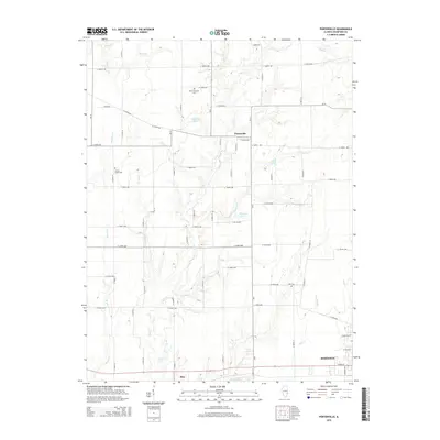
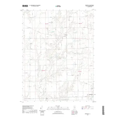
1998 Porterville
Crawford County, IL
2010 Heathsville
Crawford County, IL
2012 Heathsville
Crawford County, IL
2012 Oblong North
Crawford County, IL
2012 Oblong South
Crawford County, IL
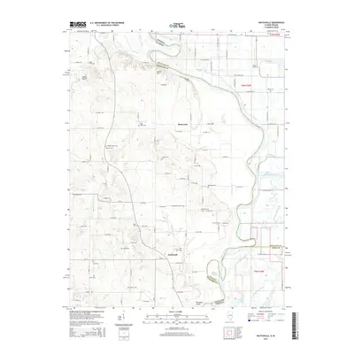
2012 Porterville
Crawford County, IL
2015 Heathsville
Crawford County, IL
2015 Oblong North
Crawford County, IL
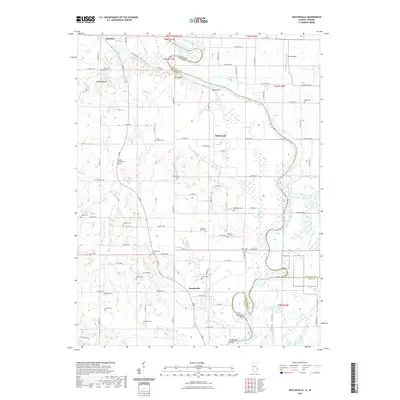
2015 Oblong South
Crawford County, IL
2015 Porterville
Crawford County, IL
2018 Heathsville
Crawford County, IL
2018 Oblong North
Crawford County, IL
2018 Oblong South
Crawford County, IL
2018 Porterville
Crawford County, IL
2021 Heathsville
Crawford County, IL
2021 Oblong North
Crawford County, IL
2021 Oblong South
Crawford County, IL
2021 Porterville
Crawford County, IL
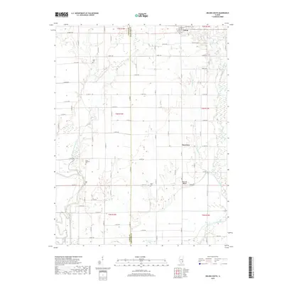
2024 Heathsville
Crawford County, IL
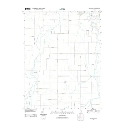
2024 Oblong North
Crawford County, IL
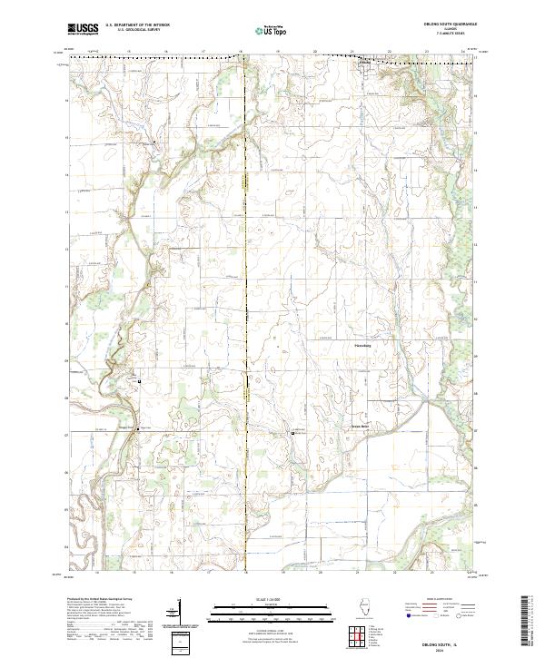
2024 Oblong South
Crawford County, IL
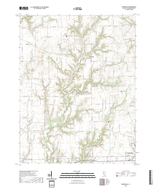
2024 Porterville
Crawford County, IL