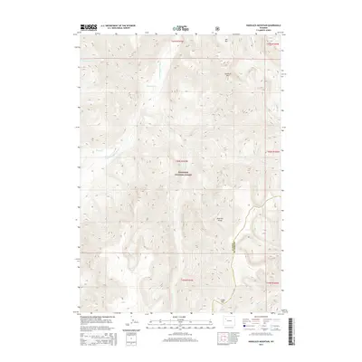
2015 Map of Hardluck Mountain
USGS Topo · Published 2015About this map
Shoshone National Forest dominates this section of the Absaroka Range, where high-elevation drainages converge along the S Fork Shoshone River. The area is defined by massive peaks including Hardluck Mtn and Ash Mtn, which overlook a complex network of alpine creeks. The boundary between Park and Fremont Counties runs through the southeastern corner of the map, cutting across high ridges near Cougar Pass. This 2015 survey details the hydrology of the upper wilderness, where Younts Cr and Robinson Cr feed into the river system. The landscape here remains focused on natural watershed management and federal forest land preservation, with topographic contour lines illustrating the steep elevation changes characteristic of the Wyoming high country.
Find a feature on this map
19 named features on this map. Tap any name to fly to it.
Don’t see what you’re looking for? This feature index may not catch every label — zoom into the map to look around manually.
Map Details
Editions of this 2015 Hardluck Mountain Map
This is the sole edition of this map. No revisions or reprints were ever made.
Other maps of this area

1893 · Ishawooa
USGS Topo · 1:125,000

1895 · Ishawooa
USGS Topo · 1:125,000

1899 · Ishawooa
USGS Topo · 1:125,000

1905 · Younts Peak
USGS Topo · 1:125,000

1907 · Younts Peak
USGS Topo · 1:125,000

1955 · Cody
USGS Topo · 1:250,000

1955 · Thermopolis
USGS Topo · 1:250,000

1956 · Shoshone Pass
USGS Topo · 1:24,000

1956 · Snow Lake
USGS Topo · 1:24,000

1956 · Five Pockets
USGS Topo · 1:24,000