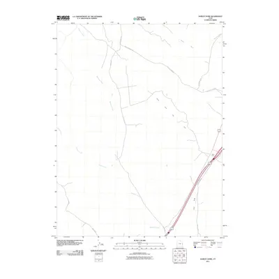
2011 Map of Harley Dome
USGS Topo · Published 2011About this map
Harley Dome Gas Field defines the industrial footprint of this high desert landscape in eastern Grand County. The terrain is a network of drainage systems and ridge-running tracks, where the prominent Harley Dome serves as a landmark for the surrounding territory. Water is a defining scarce resource, etched into the land by Westwater Creek, Sulphur Creek, and Bruson Wash. The map details a specialized infrastructure of transit designed for resource extraction and ridge access, including the Book Cliff Ridge Rd and the Mac Intyre Cutoff. This survey captures the intersection of energy production and the natural topography of Coat Draw and the surrounding plateaus, showing how local roads like Pechula Rd and Harley Dome Rd navigate the complex elevation changes of the Book Cliffs region.
Find a feature on this map
12 named features on this map. Tap any name to fly to it.
Don’t see what you’re looking for? This feature index may not catch every label — zoom into the map to look around manually.
Map Details
Editions of this 2011 Harley Dome Map
This is the sole edition of this map. No revisions or reprints were ever made.
Other maps of this area

1885 · East Tavaputs
USGS Topo · 1:250,000

1954 · Westwater 4 SW
USGS Topo · 1:24,000

1956 · Westwater 4 SE
USGS Topo · 1:24,000

1956 · Grand Junction
USGS Topo · 1:250,000

1959 · Grand Junction
USGS Topo · 1:250,000

1960 · Grand Junction
USGS Topo · 1:250,000

1962 · Grand Junction
USGS Topo · 1:250,000

1964 · Grand Junction
USGS Topo · 1:250,000

1965 · Grand Junction
USGS Topo · 1:250,000
1970 · Harley Dome
USGS Topo · 1:24,000