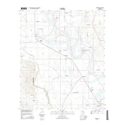
2015 Map of Harmon
USGS Topo · Published 2015About this map
Red River meanders through this portion of Red River Parish, defining a landscape of active and relic waterways. The transition from the alluvial floodplain to the eastern uplands is marked by a series of oxbow features and named lakes, including Wilson Lake, Crichton Lake, and Beard Lake. Small settlements and agricultural hubs like Harmon, Gahagan, and Abington are connected by a network of parish roads and the arterial La-515.
Find a feature on this map
76 named features on this map. Tap any name to fly to it.
Don’t see what you’re looking for? This feature index may not catch every label — zoom into the map to look around manually.
Map Details
Editions of this 2015 Harmon Map
This is the sole edition of this map. No revisions or reprints were ever made.
Other maps of this area

1938 · Chemard Lake
USGS Topo · 1:31,680

1938 · Lake End
USGS Topo · 1:31,680

1941 · East Point
USGS Topo · 1:31,680

1941 · Pelican
USGS Topo · 1:62,500

1943 · Pleasant Hill
USGS Topo · 1:62,500

1944 · Pleasant Hill
USGS Topo · 1:62,500

1945 · Mansfield
USGS Topo · 1:62,500

1947 · Mansfield
USGS Topo · 1:62,500

1947 · Hanna
USGS Topo · 1:62,500

1948 · Coushatta
USGS Topo · 1:62,500