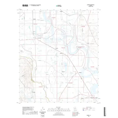
2020 Map of Harmon
USGS Topo · Published 2020About this map
The Red River defines the landscape of this Louisiana quadrangle, weaving through a complex network of waterways that includes The Cutoff, Grand Bayou, and Bayou Pierre. The area is characterized by an intricate patchwork of sloughs, lakes, and bayous such as Butler Slough and Honey Bayou, which reflect the dynamic nature of the river's floodplain. Small settlements like Harmon, Emmett, and Abington are scattered across the lowlands, connected by a grid of parish roads that navigate the water-logged terrain.
Find a feature on this map
67 named features on this map. Tap any name to fly to it.
Don’t see what you’re looking for? This feature index may not catch every label — zoom into the map to look around manually.
Map Details
Editions of this 2020 Harmon Map
This is the sole edition of this map. No revisions or reprints were ever made.
Other maps of this area
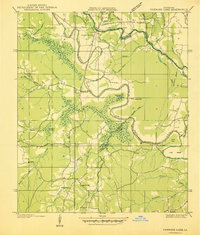
1938 · Chemard Lake
USGS Topo · 1:31,680
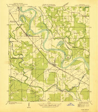
1938 · Lake End
USGS Topo · 1:31,680
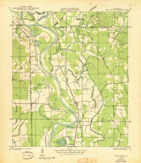
1941 · East Point
USGS Topo · 1:31,680
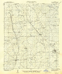
1941 · Pelican
USGS Topo · 1:62,500
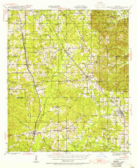
1943 · Pleasant Hill
USGS Topo · 1:62,500
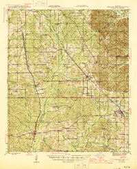
1944 · Pleasant Hill
USGS Topo · 1:62,500
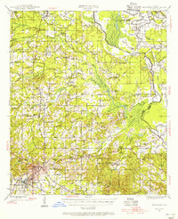
1945 · Mansfield
USGS Topo · 1:62,500
1947 · Mansfield
USGS Topo · 1:62,500
1947 · Hanna
USGS Topo · 1:62,500
1948 · Coushatta
USGS Topo · 1:62,500