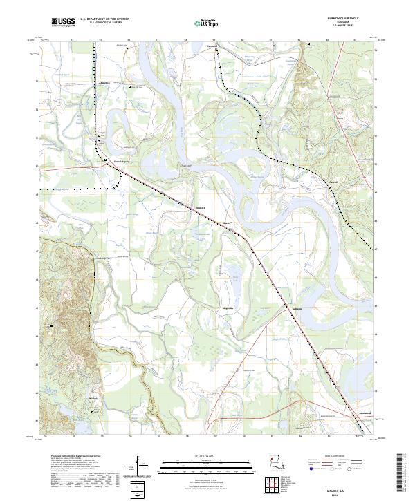
2024 Map of Harmon
USGS Topo · Published 2024About this map
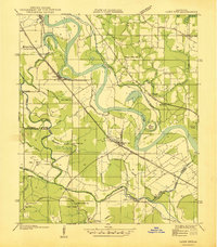
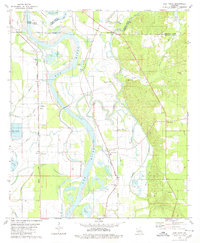
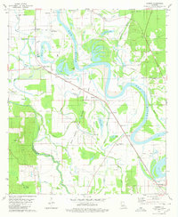
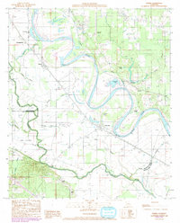
Red River National Wildlife Refuge dominates the northern landscape of this map, protecting the intricate wetlands and floodplain ecosystems of the Red River. The geography is defined by a dense network of meandering waterways, including the Cutoff, which indicates the shifting course of the river over time. Small rural settlements like Harmon, Magnolia, and Gahagan are connected by a web of parish roads, reflecting a landscape centered on river-bottom agriculture and local transit.
Find a feature on this map
74 named features on this map. Tap any name to fly to it.
Don’t see what you’re looking for? This feature index may not catch every label — zoom into the map to look around manually.
Map Details
Editions of this 2024 Harmon Map
This is the sole edition of this map. No revisions or reprints were ever made.
Historical Maps of Abington Through Time
9 maps found