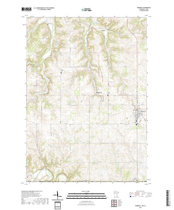
2022 Map of Harmony
USGS Topo · Published 2022About this map
Harmony sits at the eastern edge of this agricultural landscape in southern Fillmore Co, serving as a primary hub where local roads and the Harmony-Preston Valley State Trl converge. The terrain is defined by the headwaters of several drainages, including Willow Cr and Partridge Cr, which carve through the tillable uplands. Small settlements like Big Spring and Hutton anchor the rural sections, while Daisy Valley marks a distinct topographic depression in the southwest.
Find a feature on this map
59 named features on this map. Tap any name to fly to it.
Don’t see what you’re looking for? This feature index may not catch every label — zoom into the map to look around manually.
Map Details
Editions of this 2022 Harmony Map
This is the sole edition of this map. No revisions or reprints were ever made.
Other maps of this area

1906 · Decorah
USGS Topo · 1:125,000

1954 · Mason City
USGS Topo · 1:250,000

1957 · Mason City
USGS Topo · 1:250,000

1958 · Mason City
USGS Topo · 1:250,000

1958 · La Crosse
USGS Topo · 1:250,000

1961 · La Crosse
USGS Topo · 1:250,000

1965 · La Crosse
USGS Topo · 1:250,000

1965 · Greenleafton
USGS Topo · 1:24,000

1965 · Harmony
USGS Topo · 1:24,000

1965 · Canton
USGS Topo · 1:24,000