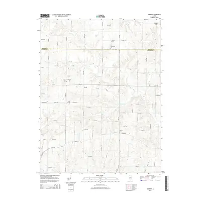
2015 Map of Harmony
USGS Topo · Published 2015About this map
The boundary line between Marion Co and Jefferson Co bisects a landscape defined by small-scale agriculture and a dense network of country roads. In the southern half, the settlement of Harmony sits near its namesake Harmony Cem, while the small community of Divide occupies a central position near the headwaters of Coal Bank Cr. The map is particularly notable for its high concentration of family and community burial grounds, revealing the genealogical deep roots of the region. Distinctive features include Union Chapel and a pair of sites along the creek, Old Panther Fork Cem and Panther Fork Cem. The terrain is drained by numerous winding waterways such as Horse Cr, Panther Fork, and Salty Br, which weave through the agricultural grid established by routes like Walnut Hill Rd and Exchange Rd.
Find a feature on this map
102 named features on this map. Tap any name to fly to it.
Don’t see what you’re looking for? This feature index may not catch every label — zoom into the map to look around manually.
Map Details
Editions of this 2015 Harmony Map
This is the sole edition of this map. No revisions or reprints were ever made.
Other maps of this area

1933 · Mount Vernon
USGS Topo · 1:48,000

1934 · Salem
USGS Topo · 1:62,500

1938 · Salem
USGS Topo · 1:62,500

1940 · Mount Vernon
USGS Topo · 1:62,500

1947 · Wayne City
USGS Topo · 1:62,500

1952 · Xenia
USGS Topo · 1:62,500

1958 · Belleville
USGS Topo · 1:250,000

1962 · Belleville
USGS Topo · 1:250,000

1964 · Opdyke
USGS Topo · 1:24,000

1965 · Iuka
USGS Topo · 1:24,000