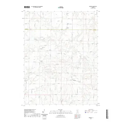
2021 Map of Harmony
USGS Topo · Published 2021About this map
Union Chapel Cem and its namesake church serve as a central landmark in this portion of the Illinois countryside, where the border between Marion County and Jefferson County follows Co Hwy 32. The landscape is defined by the headwaters of several drainages, including Horse Cr and Panther Fork, which carve subtle valleys across the terrain. Small rural hubs like Divide and Harmony are connected by an extensive grid of country roads, such as Kell Rd and Co Rd 2000 N. For those researching local families, the map is densely populated with cemeteries, ranging from the Old Donoho Prairie Cem to smaller family plots like Simmons Cem and Byars Cem. The distribution of these burial grounds and the persistent rural road network suggest a community with deep roots in agricultural land divisions that have remained remarkably stable into the 21st century.
Find a feature on this map
59 named features on this map. Tap any name to fly to it.
Don’t see what you’re looking for? This feature index may not catch every label — zoom into the map to look around manually.
Map Details
Editions of this 2021 Harmony Map
This is the sole edition of this map. No revisions or reprints were ever made.
Other maps of this area

1933 · Mount Vernon
USGS Topo · 1:48,000

1934 · Salem
USGS Topo · 1:62,500

1938 · Salem
USGS Topo · 1:62,500

1940 · Mount Vernon
USGS Topo · 1:62,500

1947 · Wayne City
USGS Topo · 1:62,500

1952 · Xenia
USGS Topo · 1:62,500

1958 · Belleville
USGS Topo · 1:250,000

1962 · Belleville
USGS Topo · 1:250,000

1964 · Opdyke
USGS Topo · 1:24,000

1965 · Iuka
USGS Topo · 1:24,000