
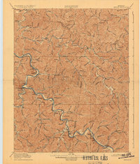
1916 Map of Harold
USGS Topo · Published 1916About this map
Johns Creek and the meandering Levisa Fork of the Big Sandy River define this 1914 landscape, which was surveyed at a pivotal time for the eastern Kentucky coalfields. The Chesapeake and Ohio railroad snakes alongside the river, connecting a string of riverside communities including Ivel, Harold, and Boldman. This network provided the infrastructure for burgeoning industry, though the map still reflects a primarily rural, kinship-based settlement pattern.
Find a feature on this map
130 named features on this map. Tap any name to fly to it.
Don’t see what you’re looking for? This feature index may not catch every label — zoom into the map to look around manually.
Map Details
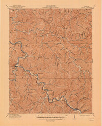
Editions of this 1916 Harold Map
3 editions found
Other maps of this area

1886 · Prestonsburg
USGS Topo · 1:125,000

1886 · Grundy
USGS Topo · 1:125,000

1887 · Warfield
USGS Topo · 1:125,000

1890 · Whitesburg
USGS Topo · 1:125,000

1890 · Grundy
USGS Topo · 1:125,000

1891 · Warfield
USGS Topo · 1:125,000

1892 · Grundy
USGS Topo · 1:125,000

1892 · Whitesburg
USGS Topo · 1:125,000

1892 · Prestonsburg
USGS Topo · 1:125,000

1910 · Naugatuck
USGS Topo · 1:48,000