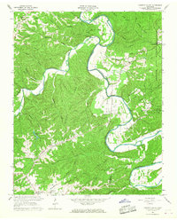
1966 Map of Harpeth Valley
USGS Topo · Published 1967About this map
The Harpeth River carves a winding path through the borderlands of Dickson and Cheatham Counties, defining the landscape with dramatic meanders like Johnson Bend, Collier Bend, and Bells Bend. The rugged terrain of Harpeth Ridge and Sampson Ridge is dissected by numerous waterways, including Leatherwood Creek and Jones Creek. This mid-century survey captures the rural character of the region, where life centered around small communities and country churches such as Mt Olive Ch, Johnson Chapel, and Chapel Hill Ch.
Find a feature on this map
66 named features on this map. Tap any name to fly to it.
Don’t see what you’re looking for? This feature index may not catch every label — zoom into the map to look around manually.
Map Details
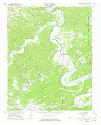
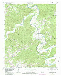
Editions of this 1966 Harpeth Valley Map
3 editions found
Other maps of this area

1930 · White Bluff
USGS Topo · 1:62,500

1933 · White Bluff
USGS Topo · 1:62,500

1936 · Burns
USGS Topo · 1:24,000

1953 · Burns
USGS Topo · 1:24,000

1956 · Nashville
USGS Topo · 1:250,000

1957 · Cheatham Dam
USGS Topo · 1:24,000

1957 · Ashland City
USGS Topo · 1:24,000

1958 · Charlotte
USGS Topo · 1:24,000

1958 · Cumberland Furnace
USGS Topo · 1:24,000

1959 · Nashville
USGS Topo · 1:250,000