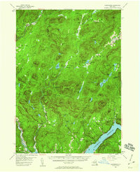
1954 Map of Harrisburg
USGS Topo · Published 1960About this map
Griffin and Windfall represent the small settlements scattered across this mid-century landscape of the southern Adirondacks. The map traces the winding course of the Sacandaga River as it flows into the Sacandaga Reservoir, a dominant feature in the southern portion of the quadrangle. High elevations are marked by peaks such as Moose Mtn and Bearpen Peak, while the interior is dotted with numerous bodies of water including Wilcox Lake and Harrisburg Lake.
Find a feature on this map
96 named features on this map. Tap any name to fly to it.
Don’t see what you’re looking for? This feature index may not catch every label — zoom into the map to look around manually.
Map Details
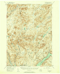
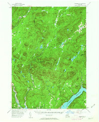
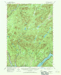
Editions of this 1954 Harrisburg Map
5 editions found

Other maps of this area

1895 · North Creek
USGS Topo · 1:62,500

1897 · North Creek
USGS Topo · 1:62,500

1898 · Thirteenth Lake
USGS Topo · 1:62,500

1899 · Indian Lake
USGS Topo · 1:62,500

1899 · Broadalbin
USGS Topo · 1:62,500

1902 · Broadalbin
USGS Topo · 1:62,500

1902 · Saratoga
USGS Topo · 1:62,500

1902 · Indian Lake
USGS Topo · 1:62,500

1903 · Luzerne
USGS Topo · 1:62,500

1903 · Gloversville
USGS Topo · 1:62,500