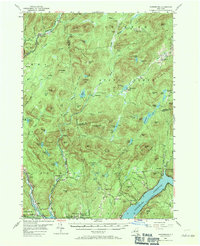
1954 Map of Harrisburg
USGS Topo · Published 1971About this map
The Sacandaga Reservoir dominates the southern landscape of this 1954 survey, reflecting a transformed river valley in the Adirondacks. To the north, the terrain rises into the southern Adirondack mountains, where deep-woods settlements like Bakertown and Griffin sit along the winding East Branch Sacandaga River. The map provides a detailed view of several family-named burial sites, including the Knowelhurst (Scofield) Cem and Van Dusen Cem, which offer significant value for genealogists tracing local families. Transport in the higher elevations is defined by a network of paths such as the Old Military Road and various jeep trails, while the southern communities of Edinburg and Day Center are more established along the reservoir's edge. The rugged geography is further detailed by landmarks like Auger Falls and the isolated Wilcox Lake, showing a region where small-scale industry and mountain life met the engineering of the new reservoir.
Find a feature on this map
105 named features on this map. Tap any name to fly to it.
Don’t see what you’re looking for? This feature index may not catch every label — zoom into the map to look around manually.
Map Details
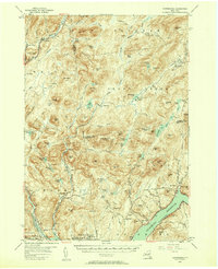
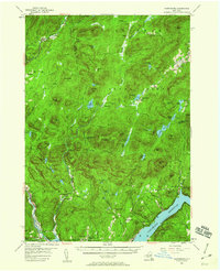
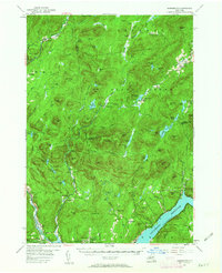
Editions of this 1954 Harrisburg Map
5 editions found

Other maps of this area

1895 · North Creek
USGS Topo · 1:62,500

1897 · North Creek
USGS Topo · 1:62,500

1898 · Thirteenth Lake
USGS Topo · 1:62,500

1899 · Indian Lake
USGS Topo · 1:62,500

1899 · Broadalbin
USGS Topo · 1:62,500

1902 · Broadalbin
USGS Topo · 1:62,500

1902 · Saratoga
USGS Topo · 1:62,500

1902 · Indian Lake
USGS Topo · 1:62,500

1903 · Luzerne
USGS Topo · 1:62,500

1903 · Gloversville
USGS Topo · 1:62,500