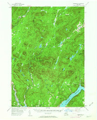
1954 Map of Harrisburg
USGS Topo · Published 1963About this map
Sacandaga Reservoir dominates the southeastern landscape of this mid-century survey, its shoreline reflecting the massive water management infrastructure that reshaped the Adirondack foothills. The map documents numerous small communities such as Hope Falls, Edinburg, and Knowelhurst, many of which maintain deep ties to the river valleys. Genealogists will find high value in the placement of small family and community burial grounds, including the Wadsworth Cem and the Knowelhurst (Scofield) Cem.
Find a feature on this map
126 named features on this map. Tap any name to fly to it.
Don’t see what you’re looking for? This feature index may not catch every label — zoom into the map to look around manually.
Map Details
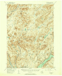
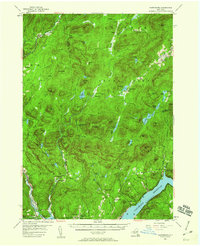
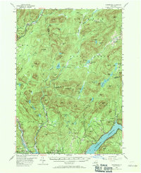
Editions of this 1954 Harrisburg Map
5 editions found

Other maps of this area

1895 · North Creek
USGS Topo · 1:62,500

1897 · North Creek
USGS Topo · 1:62,500

1898 · Thirteenth Lake
USGS Topo · 1:62,500

1899 · Indian Lake
USGS Topo · 1:62,500

1899 · Broadalbin
USGS Topo · 1:62,500

1902 · Broadalbin
USGS Topo · 1:62,500

1902 · Saratoga
USGS Topo · 1:62,500

1902 · Indian Lake
USGS Topo · 1:62,500

1903 · Luzerne
USGS Topo · 1:62,500

1903 · Gloversville
USGS Topo · 1:62,500