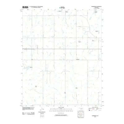
2010 Map of Harrisburg
USGS Topo · Published 2010About this map
Harrisburg stands as a central point in this Stephens County landscape, where the rural character is defined by a complex network of section-line roads and numerous earthen dams. The terrain is marked by the branching paths of West Mud Creek, East Mud Creek, and West Fish Creek, which feed into various reservoirs such as Oknoname 137047 Dam. For those researching local history, the presence of the Stoner Cemetery and the Weaver Chapel Cemetery provides valuable genealogical anchors within the township. The region's industrial footprint is equally evident, with the West Velma Oil Field and the Northwest Palacine Oil Field indicating the persistent importance of petroleum extraction. This 2010 survey illustrates how modern water management and energy production have integrated with the traditional grid of Oklahoma prairie life, including uniquely named thoroughfares like Dr Pepper Rd.
Find a feature on this map
32 named features on this map. Tap any name to fly to it.
Don’t see what you’re looking for? This feature index may not catch every label — zoom into the map to look around manually.
Map Details
Editions of this 2010 Harrisburg Map
This is the sole edition of this map. No revisions or reprints were ever made.
Other maps of this area

1901 · Addington
USGS Topo · 1:125,000

1902 · Rush Springs
USGS Topo · 1:125,000

1950 · Marlow
USGS Topo · 1:62,500

1951 · Marlow
USGS Topo · 1:62,500

1957 · Ardmore
USGS Topo · 1:250,000

1963 · Ardmore
USGS Topo · 1:250,000

1963 · Harrisburg
USGS Topo · 1:24,000

1964 · Comanche SE
USGS Topo · 1:24,000

1964 · Duncan South
USGS Topo · 1:24,000

1964 · Comanche
USGS Topo · 1:24,000