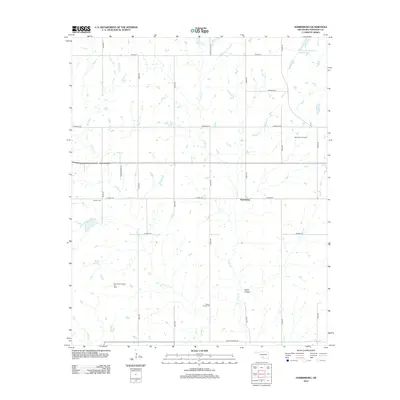
2012 Map of Harrisburg
USGS Topo · Published 2012About this map
Harrisburg stands at the center of this Oklahoma landscape, where the traditional grid of rural section roads meets the industrial footprint of the Southern Plains. The area is defined by its energy and agricultural history, visible through the extensive Northwest Palacine Oil Field and the West Velma Oil Field to the east. These industrial zones are balanced by quiet local landmarks like Stoner Cem and Weaver Chapel Cem, providing essential points of reference for genealogists and local historians.
Find a feature on this map
26 named features on this map. Tap any name to fly to it.
Don’t see what you’re looking for? This feature index may not catch every label — zoom into the map to look around manually.
Map Details
Editions of this 2012 Harrisburg Map
This is the sole edition of this map. No revisions or reprints were ever made.
Other maps of this area

1901 · Addington
USGS Topo · 1:125,000

1902 · Rush Springs
USGS Topo · 1:125,000

1950 · Marlow
USGS Topo · 1:62,500

1951 · Marlow
USGS Topo · 1:62,500

1957 · Ardmore
USGS Topo · 1:250,000

1963 · Ardmore
USGS Topo · 1:250,000

1963 · Harrisburg
USGS Topo · 1:24,000

1964 · Comanche SE
USGS Topo · 1:24,000

1964 · Duncan South
USGS Topo · 1:24,000

1964 · Comanche
USGS Topo · 1:24,000