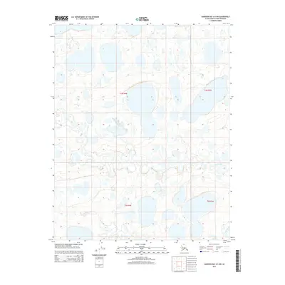
2015 Map of Harrison Bay A-5 NW
USGS Topo · Published 2015About this map
The Arctic coastal plain of the North Slope borough is characterized by a dense network of thaw lakes and meandering waterways in this 2015 survey. The hydrology of the region is primarily defined by Inicok Creek, which winds through the central portion of the landscape, and the broader reaches of Fish Creek in the southeast. These water bodies are part of a complex drainage system that shapes the low-lying tundra, appearing here with high-resolution contour data from the National Elevation Dataset. The mapping reflects the vast, undeveloped character of the Alaskan wilderness near Harrison Bay, where the Public Land Survey System grid lines of townships like t10n r4w and t9n r3w provide the only human-imposed structure on an otherwise wild terrain of seasonal wetlands and permafrost features.
Find a feature on this map
6 named features on this map. Tap any name to fly to it.
Don’t see what you’re looking for? This feature index may not catch every label — zoom into the map to look around manually.
Map Details
Editions of this 2015 Harrison Bay A-5 NW Map
This is the sole edition of this map. No revisions or reprints were ever made.
Other maps of this area

1951 · Harrison Bay
USGS Topo · 1:250,000

1951 · Teshekpuk
USGS Topo · 1:250,000

1955 · Harrison Bay
USGS Topo · 1:250,000

1955 · Teshekpuk
USGS Topo · 1:250,000

1955 · Teshekpuk A-1
USGS Topo · 1:63,360

1955 · Teshekpuk B-1
USGS Topo · 1:63,360

1955 · Harrison Bay B-5
USGS Topo · 1:63,360

1955 · Harrison Bay A-5
USGS Topo · 1:63,360

1964 · Teshekpuk
USGS Topo · 1:250,000
2013 · Harrison Bay B-5 SW
USGS Topo · 1:25,000