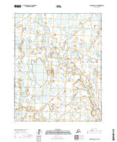
2017 Map of Harrison Bay B-1 SW
USGS Topo · Published 2017About this map
Pikonik Mound rises above the low-lying wetlands and thaw lakes of the Arctic coastal plain, providing a rare topographical landmark in this portion of the North Slope. This landscape is defined by its complex network of slow-moving water and seasonal drainage, where the Colville River flows across the northern edge and the Miluveach River winds through the central territory. In the southern reach, the Kachemach River marks a distinct drainage basin. The survey illustrates the characteristic polygonal ground and hundreds of small, unnamed ponds that dominate the tundra between these major river systems, highlighting a region where seasonal ice and permafrost dictate the geography.
Find a feature on this map
10 named features on this map. Tap any name to fly to it.
Don’t see what you’re looking for? This feature index may not catch every label — zoom into the map to look around manually.
Map Details
Editions of this 2017 Harrison Bay B-1 SW Map
This is the sole edition of this map. No revisions or reprints were ever made.
Other maps of this area

1951 · Harrison Bay
USGS Topo · 1:250,000

1955 · Harrison Bay
USGS Topo · 1:250,000

1955 · Harrison Bay B-2
USGS Topo · 1:63,360

1955 · Harrison Bay B-1
USGS Topo · 1:63,360

1955 · Harrison Bay A-2
USGS Topo · 1:63,360
1955 · Harrison Bay A-1
USGS Topo · 1:63,360
1962 · Harrison Bay B-1
USGS Topo · 1:50,000
1962 · Harrison Bay B-2
USGS Topo · 1:50,000
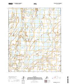
2017 · Harrison Bay A-2 NE
USGS Topo · 1:25,000
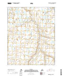
2017 · Harrison Bay A-1 NW
USGS Topo · 1:25,000