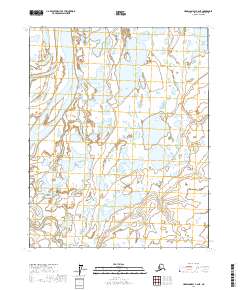
2017 Map of Harrison Bay A-2 NE
USGS Topo · Published 2017About this map
The Colville River delta dominates this landscape on the North Slope, where the massive waterway splits into the Nechelik Channel before reaching the Arctic coast. This hydrological pattern defines the terrain, as the river system weaves through a complex network of wetlands and tundra ponds characteristic of the Arctic coastal plain. The Itkillik River enters the frame from the south, contributing to the massive alluvial discharge that shapes the region's geography.
Find a feature on this map
8 named features on this map. Tap any name to fly to it.
Don’t see what you’re looking for? This feature index may not catch every label — zoom into the map to look around manually.
Map Details
Editions of this 2017 Harrison Bay A-2 NE Map
This is the sole edition of this map. No revisions or reprints were ever made.
Other maps of this area

1951 · Harrison Bay
USGS Topo · 1:250,000

1955 · Harrison Bay
USGS Topo · 1:250,000

1955 · Harrison Bay B-2
USGS Topo · 1:63,360

1955 · Harrison Bay B-1
USGS Topo · 1:63,360

1955 · Harrison Bay A-2
USGS Topo · 1:63,360
1955 · Harrison Bay A-1
USGS Topo · 1:63,360
1962 · Harrison Bay B-1
USGS Topo · 1:50,000
1962 · Harrison Bay B-2
USGS Topo · 1:50,000
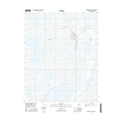
2016 · Harrison Bay A-2 NW
USGS Topo · 1:25,000
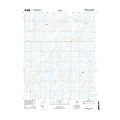
2016 · Harrison Bay A-2 SW
USGS Topo · 1:25,000