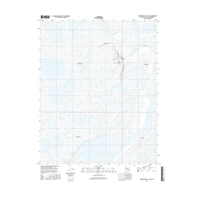
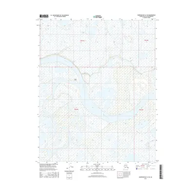
2016 Map of Harrison Bay A-2 NW
USGS Topo · Published 2016About this map
Nuiqsut stands as a vital hub in the Arctic landscape of the North Slope, situated at the confluence of several major waterways. The town layout is clearly defined by a compact grid of streets, including Pausanna Street and Anaktuvuk Street, positioned just north of the Nuiqsut Airport. This settlement pattern reflects the modern era of inland Arctic communities, where air transport and proximity to traditional river routes are essential for connectivity.
Find a feature on this map
15 named features on this map. Tap any name to fly to it.
Don’t see what you’re looking for? This feature index may not catch every label — zoom into the map to look around manually.
Map Details
Editions of this 2016 Harrison Bay A-2 NW Map
This is the sole edition of this map. No revisions or reprints were ever made.
Other maps of this area

1951 · Harrison Bay
USGS Topo · 1:250,000

1955 · Harrison Bay
USGS Topo · 1:250,000

1955 · Harrison Bay B-3
USGS Topo · 1:63,360

1955 · Harrison Bay B-2
USGS Topo · 1:63,360

1955 · Harrison Bay A-2
USGS Topo · 1:63,360

1955 · Harrison Bay A-3
USGS Topo · 1:63,360
1962 · Harrison Bay B-2
USGS Topo · 1:50,000
1962 · Harrison Bay B-3
USGS Topo · 1:50,000
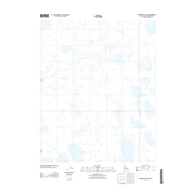
2013 · Harrison Bay A-3 NE
USGS Topo · 1:25,000
2016 · Harrison Bay A-3 SE
USGS Topo · 1:25,000