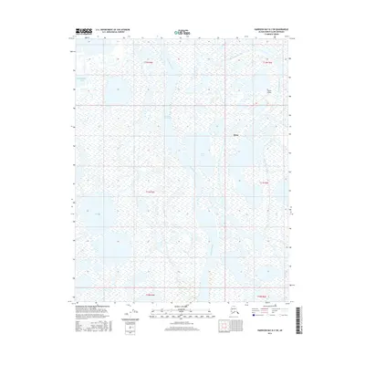
2016 Map of Harrison Bay B-2 SW
USGS Topo · Published 2016About this map
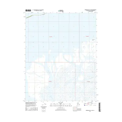
Alpine stands as the primary hub of activity in this northern expanse of the Colville River delta during the mid-2010s. The landscape is defined by the shifting waterways of the Nechelik Channel and Sakoonang Channel, which branch through a vast network of wetlands and tundra toward Harrison Bay. The infrastructure of the Alpine Airstrip underscores the reliance on aerial transport for this isolated North Slope settlement, where roads are largely absent and travel is dictated by the seasons and the water. To the west and south, the terrain is dotted with bodies of water such as Nanuk Lake and the aptly named Oil Lake, reflecting the region's geological and industrial significance. This survey provides a precise look at the drainage patterns and land divisions of Townships 10 North through 12 North, capturing the interface between the delta's hydraulic complexity and the human presence at the edge of the Beaufort Sea.
Find a feature on this map
13 named features on this map. Tap any name to fly to it.
Don’t see what you’re looking for? This feature index may not catch every label — zoom into the map to look around manually.
Map Details
Editions of this 2016 Harrison Bay B-2 SW Map
This is the sole edition of this map. No revisions or reprints were ever made.
Other maps of this area

1951 · Harrison Bay
USGS Topo · 1:250,000

1955 · Harrison Bay
USGS Topo · 1:250,000

1955 · Harrison Bay B-3
USGS Topo · 1:63,360

1955 · Harrison Bay B-2
USGS Topo · 1:63,360

1955 · Harrison Bay A-2
USGS Topo · 1:63,360

1955 · Harrison Bay A-3
USGS Topo · 1:63,360
1962 · Harrison Bay B-2
USGS Topo · 1:50,000
1962 · Harrison Bay B-3
USGS Topo · 1:50,000
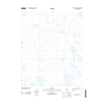
2013 · Harrison Bay A-3 NE
USGS Topo · 1:25,000
2016 · Harrison Bay B-2 NW
USGS Topo · 1:25,000