
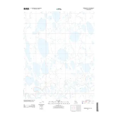
2016 Map of Harrison Bay B-3 NW
USGS Topo · Published 2016About this map
Harrison Bay dominates the northern half of this coastal survey, where the Beaufort Sea meets the low-lying wetlands of the Arctic coastal plain. The landscape is a complex mosaic of thaw lakes and intricate shoreline features, reflecting the dynamic hydrography of the North Slope Borough. While primarily comprised of open water and saturated marshland, the map provides a precise view of the Alaska coastline before the continued effects of modern erosion. The transition from the marine environment of the bay to the inland terrestrial network is documented through the Public Land Survey System, including t13n r1e and t12n r2e, offering a structural baseline for this remote northern geography.
Find a feature on this map
7 named features on this map. Tap any name to fly to it.
Don’t see what you’re looking for? This feature index may not catch every label — zoom into the map to look around manually.
Map Details
Editions of this 2016 Harrison Bay B-3 NW Map
This is the sole edition of this map. No revisions or reprints were ever made.
Other maps of this area

1951 · Harrison Bay
USGS Topo · 1:250,000

1955 · Harrison Bay
USGS Topo · 1:250,000

1955 · Harrison Bay B-3
USGS Topo · 1:63,360
1955 · Harrison Bay C-3
USGS Topo · 1:63,360

1955 · Harrison Bay C-4
USGS Topo · 1:63,360

1955 · Harrison Bay B-4
USGS Topo · 1:63,360
1962 · Harrison Bay C-3
USGS Topo · 1:50,000
1962 · Harrison Bay B-3
USGS Topo · 1:50,000
2013 · Harrison Bay B-3 SW
USGS Topo · 1:25,000
2013 · Harrison Bay B-4 SE
USGS Topo · 1:25,000