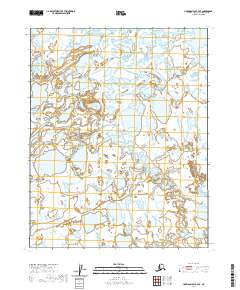
2020 Map of Harrison Bay B-3 SE
USGS Topo · Published 2020About this map
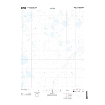
The Tingmeachsiovik River winds through this expanse of the North Slope, meeting the waters of Fish Creek as it flows toward the Arctic coast. This 2020 survey documents a landscape dominated by complex hydrography, where countless unnamed thaw lakes and wetlands saturate the tundra between the major river channels. In the eastern portion of the quadrangle, the Ublutuoch River carves a meandering path, illustrating the drainage patterns characteristic of this permafrost-underlain region. The lack of permanent structures or roads reflects the seasonal nature of human activity in this part of the borough, where the environment remains shaped almost entirely by the movement of water and ice across the flat coastal plain.
Find a feature on this map
10 named features on this map. Tap any name to fly to it.
Don’t see what you’re looking for? This feature index may not catch every label — zoom into the map to look around manually.
Map Details
Editions of this 2020 Harrison Bay B-3 SE Map
This is the sole edition of this map. No revisions or reprints were ever made.
Other maps of this area

1951 · Harrison Bay
USGS Topo · 1:250,000

1955 · Harrison Bay
USGS Topo · 1:250,000

1955 · Harrison Bay B-3
USGS Topo · 1:63,360

1955 · Harrison Bay B-2
USGS Topo · 1:63,360

1955 · Harrison Bay A-2
USGS Topo · 1:63,360

1955 · Harrison Bay A-3
USGS Topo · 1:63,360
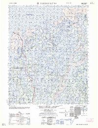
1962 · Harrison Bay B-2
USGS Topo · 1:50,000
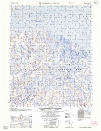
1962 · Harrison Bay B-3
USGS Topo · 1:50,000
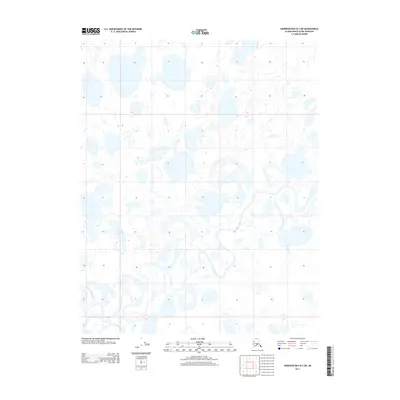
2013 · Harrison Bay B-3 SW
USGS Topo · 1:25,000
2013 · Harrison Bay A-3 NW
USGS Topo · 1:25,000