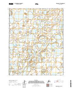
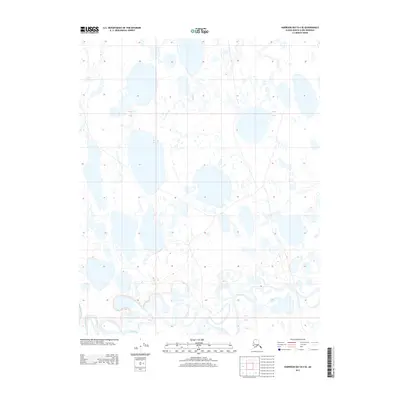
2020 Map of Harrison Bay B-3 SW
USGS Topo · Published 2020About this map
Fish Creek and Judy Creek meander through this portion of the North Slope, revealing a landscape defined by an intricate network of thaw lakes and braided riparian channels. Situated within the Arctic coastal plain, the terrain is characterized by extensive wetlands and seasonal watercourses that shift across the flat tundra. The mapping of t12n r1e and surrounding townships by the U.S. Geological Survey provides a detailed look at the drainage patterns of these vital waterways before they reach the Beaufort Sea. The absence of roads or permanent settlements underscores the remote, wild character of the region, where the hydrology of the Colville River delta influence is felt through the complex web of ponds and stream segments that dominate the surface.
Find a feature on this map
8 named features on this map. Tap any name to fly to it.
Don’t see what you’re looking for? This feature index may not catch every label — zoom into the map to look around manually.
Map Details
Editions of this 2020 Harrison Bay B-3 SW Map
This is the sole edition of this map. No revisions or reprints were ever made.
Other maps of this area

1951 · Harrison Bay
USGS Topo · 1:250,000

1955 · Harrison Bay
USGS Topo · 1:250,000

1955 · Harrison Bay A-4
USGS Topo · 1:63,360

1955 · Harrison Bay B-3
USGS Topo · 1:63,360

1955 · Harrison Bay A-3
USGS Topo · 1:63,360

1955 · Harrison Bay B-4
USGS Topo · 1:63,360
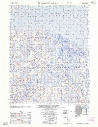
1962 · Harrison Bay B-3
USGS Topo · 1:50,000
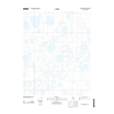
2013 · Harrison Bay B-3 SW
USGS Topo · 1:25,000
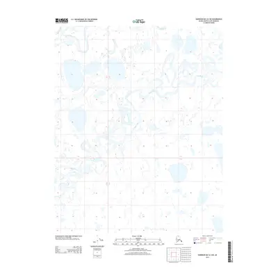
2013 · Harrison Bay A-4 NE
USGS Topo · 1:25,000
2013 · Harrison Bay B-4 SE
USGS Topo · 1:25,000