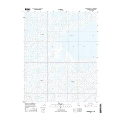
2016 Map of Harrison Bay B-4 NE
USGS Topo · Published 2016About this map
Harrison Bay dominates the northern reaches of this coastal landscape on the North Slope of Alaska. The terrain is defined by a dense network of thaw lakes and arctic wetlands that stretch across the coastal plain, punctuated by the winding course of the Kalikpik River. This waterway meanders through the central and western sections of the map, revealing the intricate hydrological patterns of the tundra. The lack of permanent structures or roads emphasizes the isolation of this region within the t13n r1w and t13n r1e townships, where the environment remains largely shaped by seasonal cycles and traditional land use rather than industrial development or fixed settlement.
Find a feature on this map
6 named features on this map. Tap any name to fly to it.
Don’t see what you’re looking for? This feature index may not catch every label — zoom into the map to look around manually.
Map Details
Editions of this 2016 Harrison Bay B-4 NE Map
This is the sole edition of this map. No revisions or reprints were ever made.
Other maps of this area

1951 · Harrison Bay
USGS Topo · 1:250,000

1955 · Harrison Bay
USGS Topo · 1:250,000

1955 · Harrison Bay B-3
USGS Topo · 1:63,360
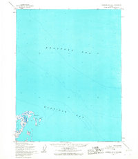
1955 · Harrison Bay C-3
USGS Topo · 1:63,360

1955 · Harrison Bay C-4
USGS Topo · 1:63,360

1955 · Harrison Bay B-4
USGS Topo · 1:63,360
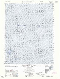
1962 · Harrison Bay C-3
USGS Topo · 1:50,000
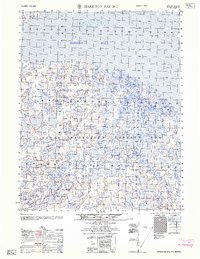
1962 · Harrison Bay B-3
USGS Topo · 1:50,000
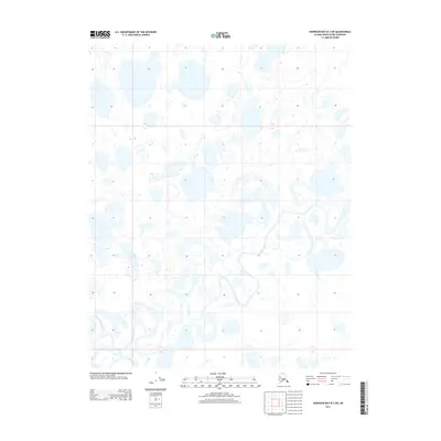
2013 · Harrison Bay B-3 SW
USGS Topo · 1:25,000
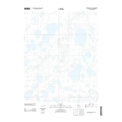
2013 · Harrison Bay B-4 SW
USGS Topo · 1:25,000