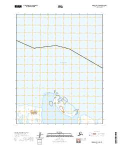
2020 Map of Harrison Bay D-5 NW
USGS Topo · Published 2020About this map
The coastal interface of the North Slope where the Beaufort Sea meets the northern reaches of Harrison Bay defines this remote Arctic landscape. This 2020 survey documents the complex shoreline and wetland patterns of the Pogik Point area, a site where shifting sands and shallow waters are under constant transformation by ice and tides. The map’s grid system, including t18n r4w and t18n r3w, provides a formal framework for this uninhabited coastal stretch, which is characterized by a dense network of small lagoons, barrier islands, and seasonal wetlands. The lack of infrastructure highlights the pristine and isolated nature of the Alaskan coast in the early 21st century, offering a baseline for researchers tracking environmental changes and coastal erosion in the Beaufort Sea region.
Find a feature on this map
5 named features on this map. Tap any name to fly to it.
Don’t see what you’re looking for? This feature index may not catch every label — zoom into the map to look around manually.
Map Details
Editions of this 2020 Harrison Bay D-5 NW Map
This is the sole edition of this map. No revisions or reprints were ever made.
Other maps of this area

1951 · Harrison Bay
USGS Topo · 1:250,000

1951 · Teshekpuk
USGS Topo · 1:250,000

1955 · Harrison Bay
USGS Topo · 1:250,000

1955 · Teshekpuk
USGS Topo · 1:250,000

1955 · Harrison Bay D-5
USGS Topo · 1:63,360

1955 · Teshekpuk D-1
USGS Topo · 1:63,360
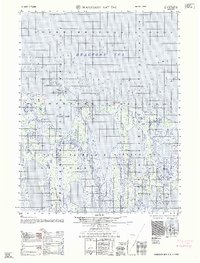
1962 · Harrison Bay D-5
USGS Topo · 1:50,000

1964 · Teshekpuk
USGS Topo · 1:250,000
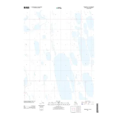
2013 · Teshekpuk D-1 SE
USGS Topo · 1:25,000
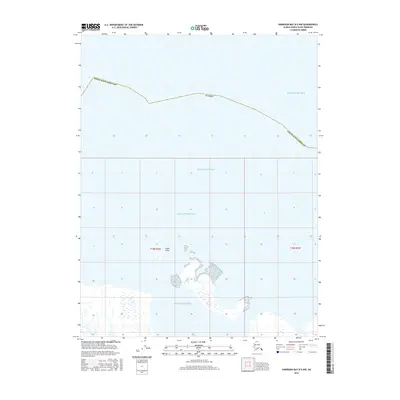
2016 · Harrison Bay D-5 NW
USGS Topo · 1:25,000