
1905 Map of Harrison
USGS Topo · Published 1905About this map
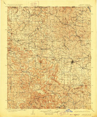
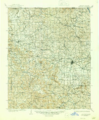
The town of Harrison serves as the central hub for this early twentieth-century Ozark landscape, where the St. Louis and North Southern RR winds through the hills connecting local communities. The terrain is defined by a dense network of mountain ridges and hollows, including Gaither Mtn and Bradshaw Mountain. Settlement patterns follow the natural water sources, with villages like Bellefonte, Carrollton, and Lead Hill established near vital springs and creek forks.
Find a feature on this map
118 named features on this map. Tap any name to fly to it.
Don’t see what you’re looking for? This feature index may not catch every label — zoom into the map to look around manually.
Map Details
Editions of this 1905 Harrison Map
3 editions found
Other maps of this area

1892 · Marshall
USGS Topo · 1:125,000

1893 · Yellville
USGS Topo · 1:125,000

1894 · Marshall
USGS Topo · 1:125,000

1900 · Eureka Springs
USGS Topo · 1:125,000

1901 · Marshall
USGS Topo · 1:125,000

1901 · Eureka Springs
USGS Topo · 1:125,000

1903 · Yellville
USGS Topo · 1:125,000

1904 · Harrison
USGS Topo · 1:125,000

1905 · Yellville
USGS Topo · 1:125,000

1907 · Forsyth
USGS Topo · 1:125,000