
1954 Map of Harrison
USGS Topo · Published 1954About this map
The Ozark Mountains define this mid-century landscape where the White River and its major tributaries undergo a massive transformation through the creation of several large reservoirs. The Bull Shoals Lake and Norfork Lake dominate the eastern reaches, while the Table Rock Reservoir and Lake Taneycomo appear further west, reflecting the era's hydraulic engineering. Settlement patterns follow the high ground and river valleys, with Harrison serving as a central hub for the region alongside smaller towns like Berryville, Mountain Home, and the hilltop town of Eureka Springs.
Find a feature on this map
169 named features on this map. Tap any name to fly to it.
Don’t see what you’re looking for? This feature index may not catch every label — zoom into the map to look around manually.
Map Details
Editions of this 1954 Harrison Map
This is the sole edition of this map. No revisions or reprints were ever made.
Other maps of this area

1884 · Springfield
USGS Topo · 1:125,000
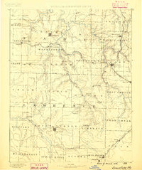
1886 · Greenfield
USGS Topo · 1:125,000
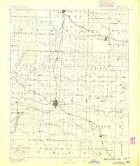
1886 · Carthage
USGS Topo · 1:125,000

1886 · Springfield
USGS Topo · 1:125,000
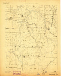
1888 · Greenfield
USGS Topo · 1:125,000

1890 · Batesville
USGS Topo · 1:125,000

1890 · Mountain Home
USGS Topo · 1:125,000

1891 · Mountain Home
USGS Topo · 1:125,000

1891 · Batesville
USGS Topo · 1:125,000

1892 · Marshall
USGS Topo · 1:125,000