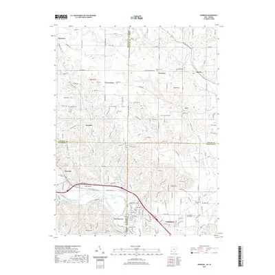
2019 Map of Harrison
USGS Topo · Published 2019About this map
The Whitewater River and its varied forks dominate this landscape on the border of Ohio and Indiana, where the city of Harrison and its neighbor West Harrison straddle the state line. This 2019 survey documents a region defined by agricultural heritage and a dense network of country roads, such as Okeana Drewersburg Rd and Snow Hill Rd, which connect long-standing settlements like Sharptown and Macedonia. Local history is preserved in numerous burial grounds, including the Saint Johns Catholic Cem and the small Snow Cem located near Snow Hill.
Find a feature on this map
159 named features on this map. Tap any name to fly to it.
Don’t see what you’re looking for? This feature index may not catch every label — zoom into the map to look around manually.
Map Details
Editions of this 2019 Harrison Map
This is the sole edition of this map. No revisions or reprints were ever made.
Other maps of this area

1914 · West Cincinnati
USGS Topo · 1:62,500

1915 · Lawrenceburg
USGS Topo · 1:48,000

1915 · Harrison
USGS Topo · 1:48,000

1915 · Hamilton
USGS Topo · 1:62,500

1917 · Hamilton
USGS Topo · 1:62,500

1928 · Lawrenceburg
USGS Topo · 1:62,500

1932 · Lawrenceburg
USGS Topo · 1:62,500

1943 · Hooven
USGS Topo · 1:24,000

1943 · Guilford
USGS Topo · 1:24,000

1953 · Guilford
USGS Topo · 1:24,000