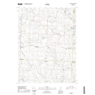
2019 Map of Harrisville
USGS Topo · Published 2019About this map
Harrisville and New Athens anchor this portrait of the Eastern Ohio countryside, where the deep-cut valleys of the Short Cr and Wheeling Cr watersheds define the settlement pattern. The landscape is a complex mix of agricultural tradition and industrial legacy, evidenced by the extensive water management systems of the Consolidation Coal Company Pond 0107. Throughout the terrain, numerous ridge-top cemeteries such as Olive Branch Cem, Unity Cem, and the Friends Meeting House Cem offer significant points of interest for genealogists tracing family histories in Harrison and Belmont Counties. From the northern edge near Cadiz to the southern cluster of Fairpoint and Maynard, the map documents a network of rural hamlets including Shepherdstown, Duncanwood, and Science Hill, each connected by a winding system of township and county roads that follow the natural contours of Branson Ridge and Henderson Ridge.
Find a feature on this map
143 named features on this map. Tap any name to fly to it.
Don’t see what you’re looking for? This feature index may not catch every label — zoom into the map to look around manually.
Map Details
Editions of this 2019 Harrisville Map
This is the sole edition of this map. No revisions or reprints were ever made.
Other maps of this area

1901 · Cadiz
USGS Topo · 1:62,500

1902 · Scio
USGS Topo · 1:62,500

1903 · Cadiz
USGS Topo · 1:62,500

1903 · Flushing
USGS Topo · 1:62,500

1904 · Scio
USGS Topo · 1:62,500

1905 · St. Clairsville
USGS Topo · 1:62,500

1905 · Flushing
USGS Topo · 1:62,500

1951 · Canton
USGS Topo · 1:250,000

1953 · Canton
USGS Topo · 1:250,000

1957 · Canton
USGS Topo · 1:250,000